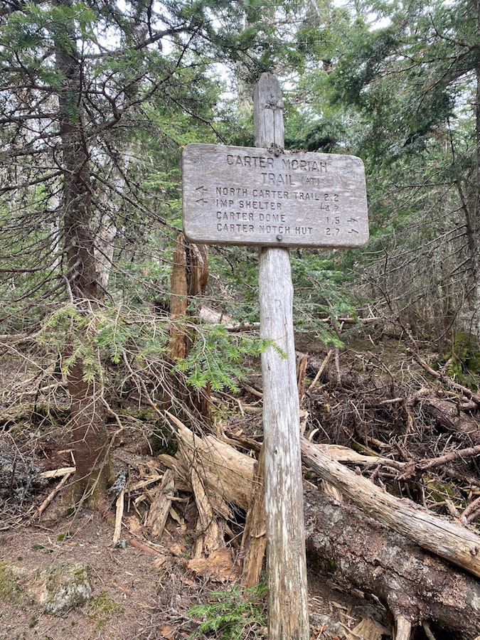
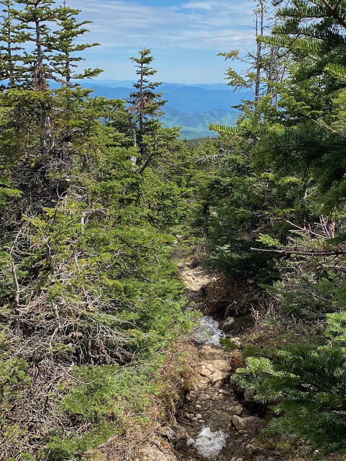
Hiking Carter Dome was part of a multi-peak day hike. I started with Carter Dome and then over to Mount Hight, South Carter, and Middle Carter. The trails used were: 19 Mile Brook Trail, Carter Dome Trail, Carter Moriah Ridge Trail, and Imp Trail. There was a 1/4 mile of road walking at the end, back to the lot.
Total miles: 13
Total hours: 7
Total summits: 4
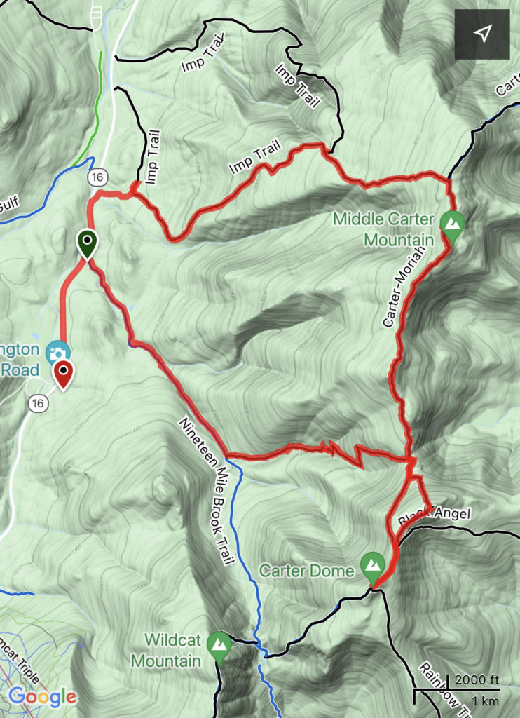
Carter Dome ranks number 9 on the New Hampshire 48 4,000 footers list, at an elevation of 4,833 ft. Carter Dome has a vertical prominence of 2,822 ft and a peak isolation of 5.03 miles. Nelson Crag is the next highest peak.
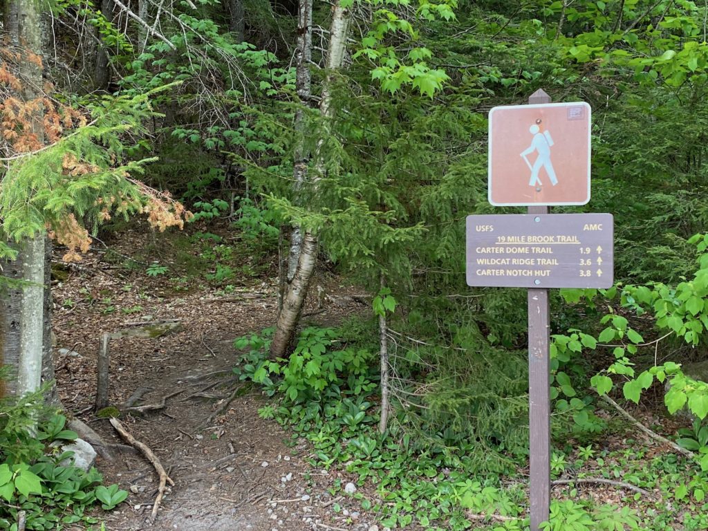
Nine Mile Brook Trail
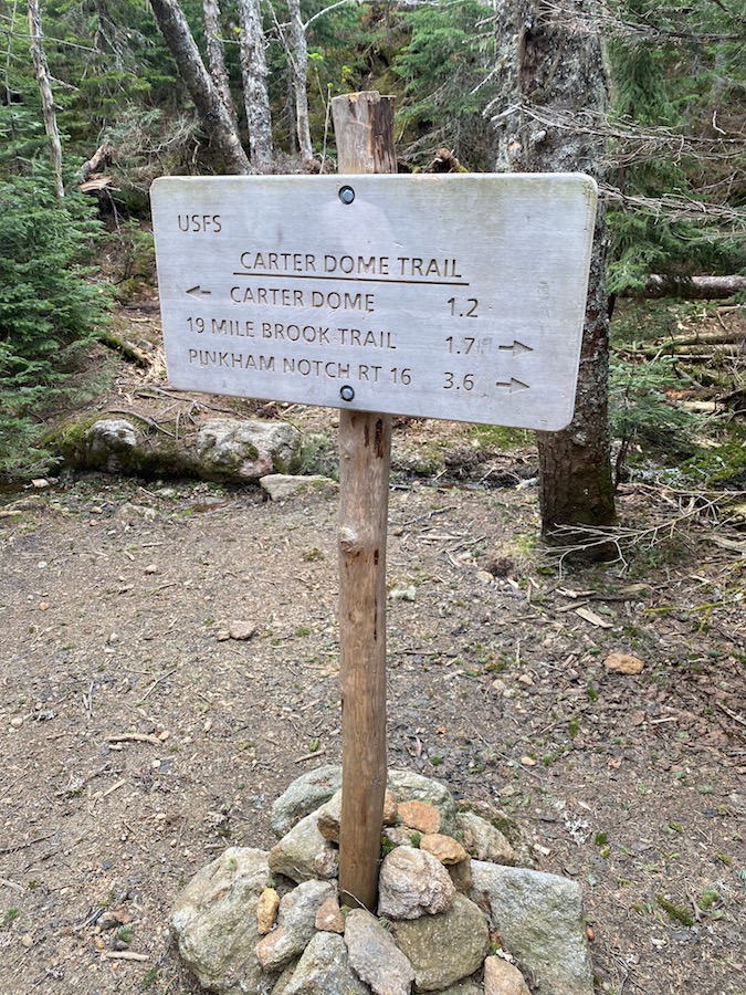
I started on the 19 Mile Brook Trail, located a few miles outside Gorham, NH. As you can see in the photo above, it’s a 1.9-mile hike to the Carter Dome Trail. I set out at about 8 am, after a 3-hour drive from Boston.
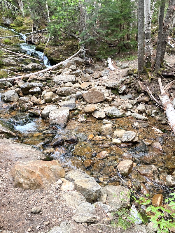
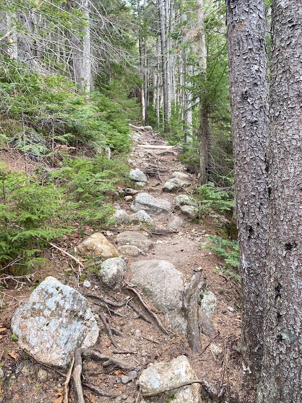
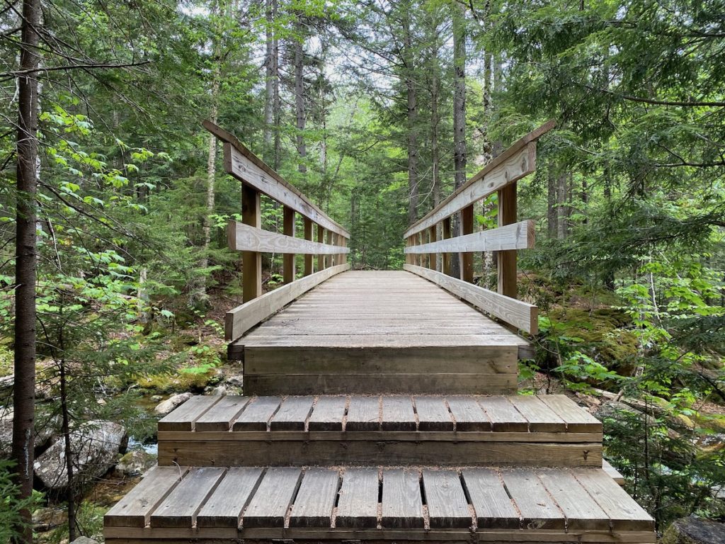
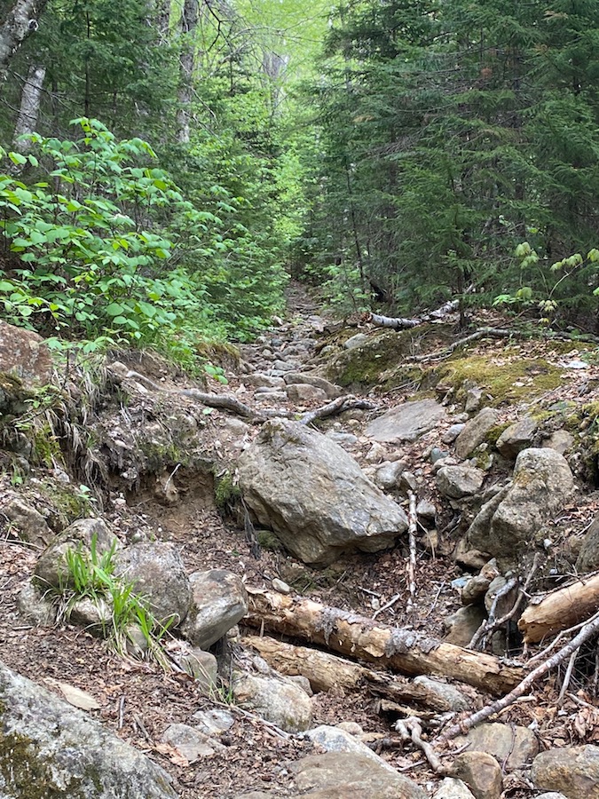
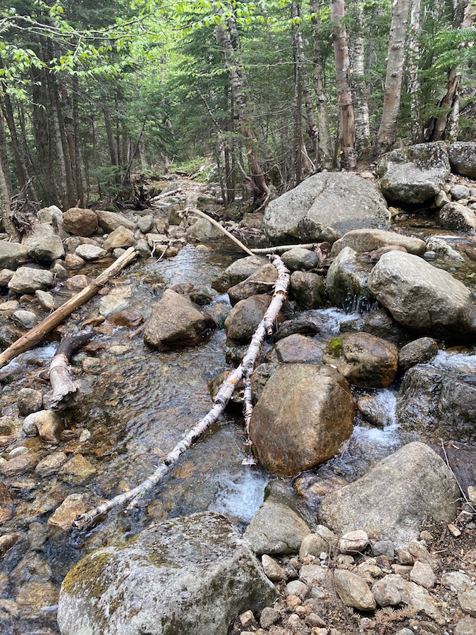
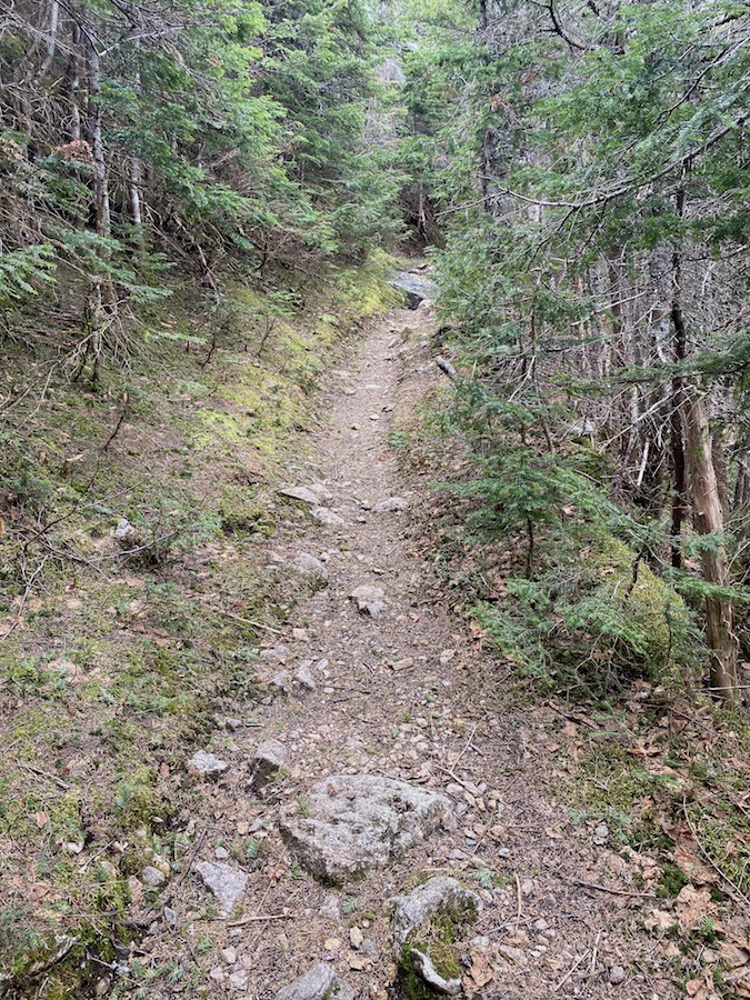
Like many trails I’ve hiked so far in 2021 on the New Hampshire 4000 footer list, the 19 Mile Brook Trail started gradual, and I hiked along the river for a good amount of time, about .8 to 1 mile. The trail conditions through this section were typical rock and roots, including many river crossings.
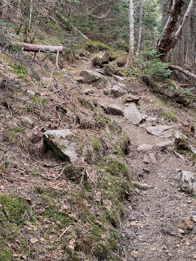
When the ascent starts, I found myself on a long series of switchbacks so the elevation gain through this section, while brisk, didn’t take its toll like other mountains with a more direct approach.
Nine Mile Brook Trail
Carter Dome Trail
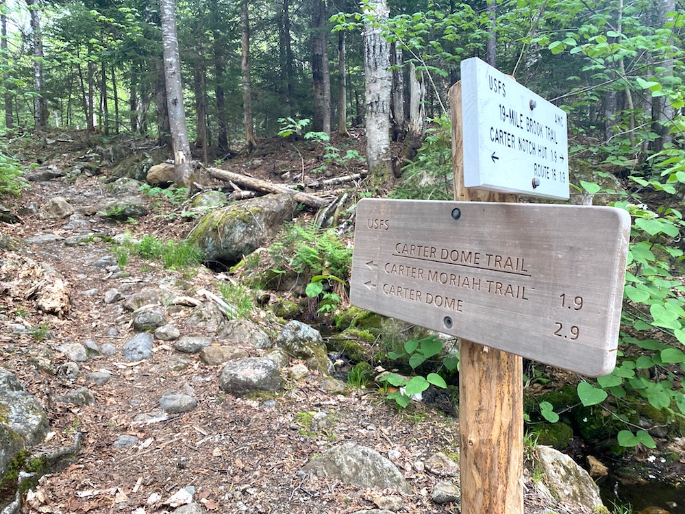
The junction for the Carter Dome Trail puts you at 2.9 miles from the summit. It’s from here the trail builds elevation gain more aggressively.
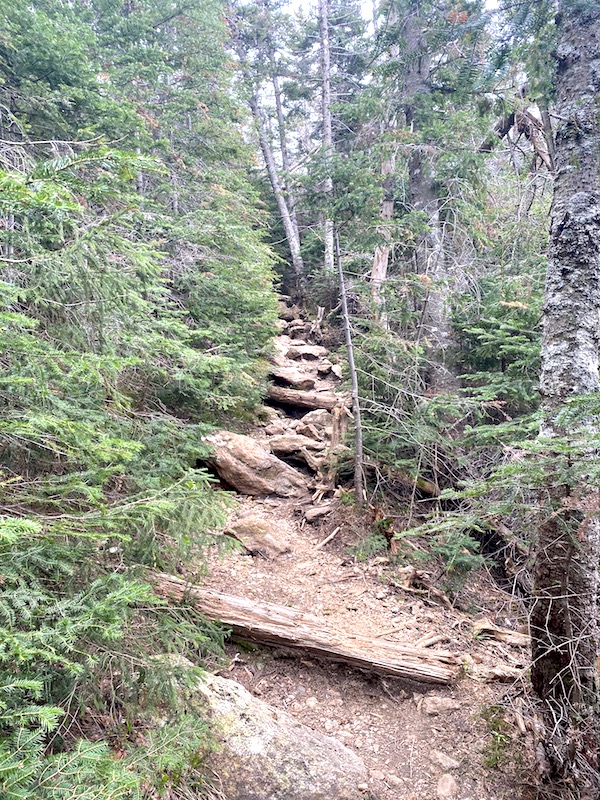
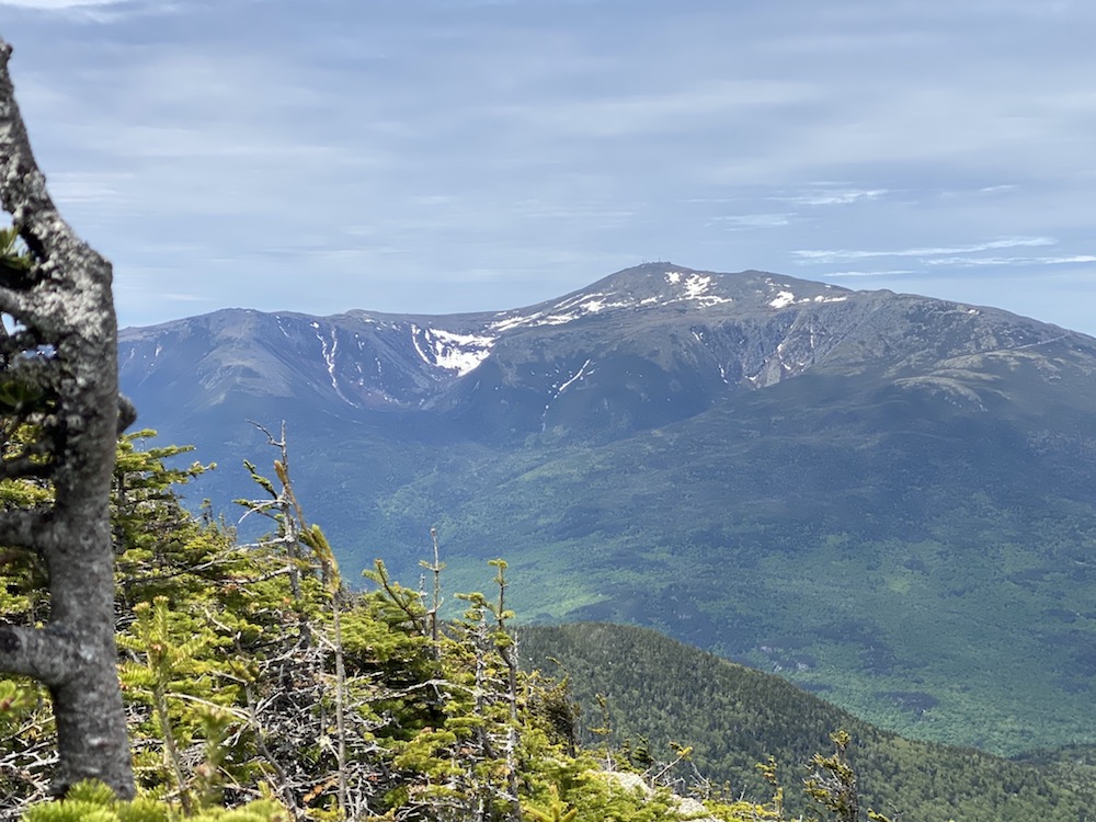
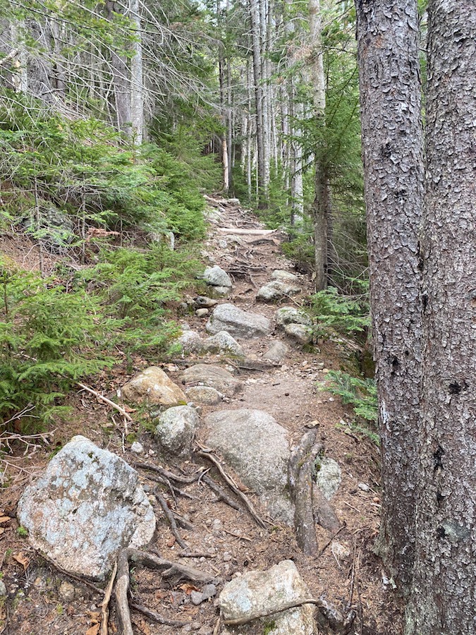
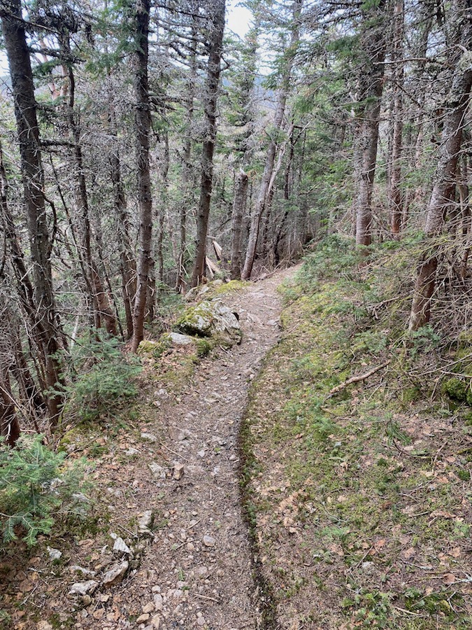
The hike along the switchbacks offers practically no views all the way along the 2.9 miles. At about 2 miles you will start seeing Mount Washington and the Northern Presidential Range through the trees along the north side of the ridge.
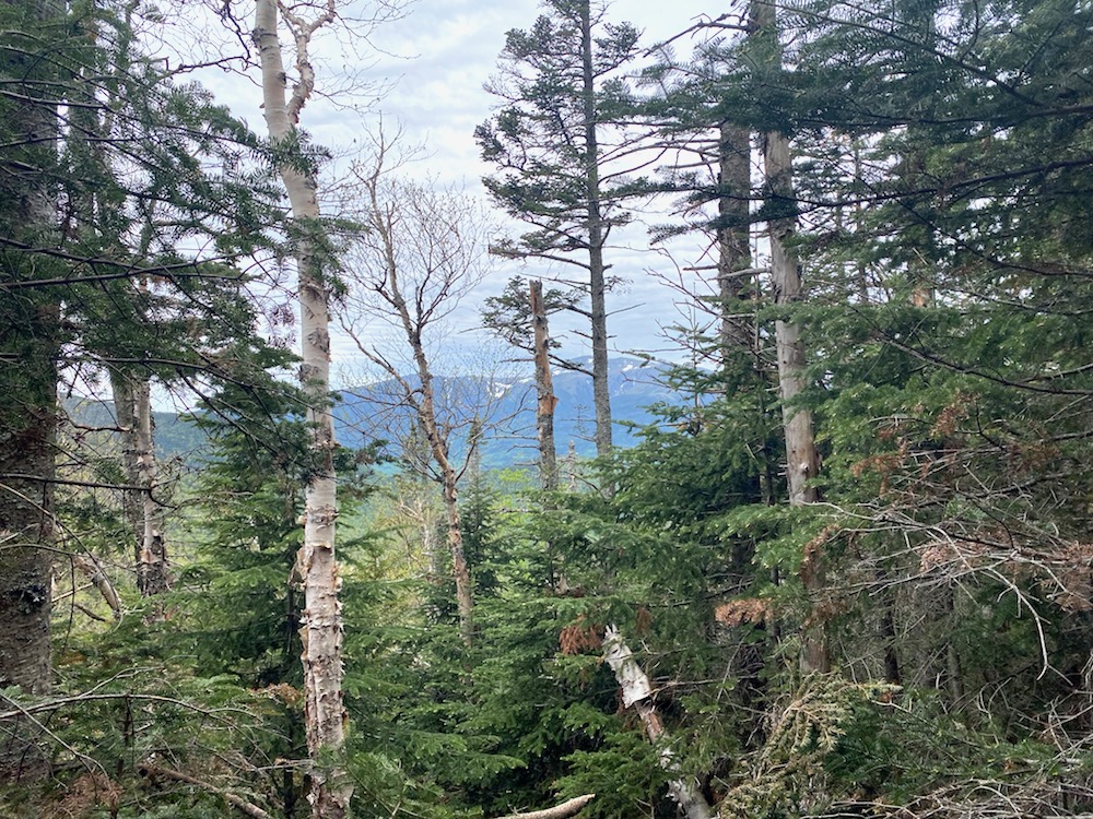
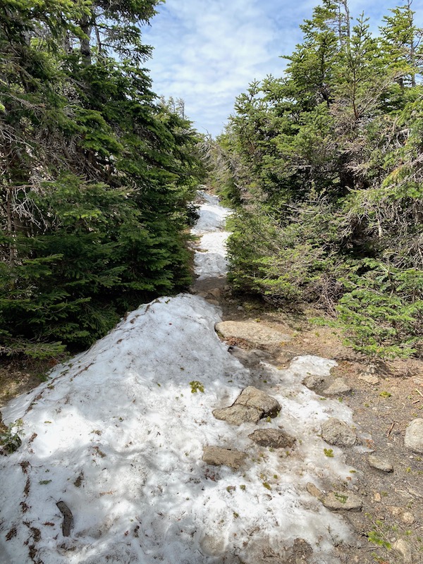
The trail narrows considerably for the final .9 – 1 mile of the ascent. The mountain was very quiet on this day, with not many other hikers on the trail, and the higher I got up this 4,800 ft mountain the more isolated I felt. It was a nice day weather-wise, but snow on the trail was a reminder that better summer weather is yet to come.
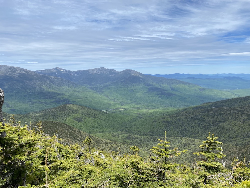
View From Ridgeline
Just shy of the summit of Carter Dome, there’s a small path on the right that leads to a ledge on the ridgeline. From here you will finally get a view and a spectacular one at that.
Summit of Carter Dome
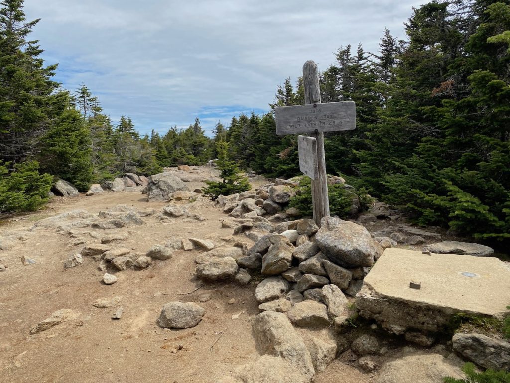
Just a few hundred feet from the view, I reached the summit of Carter Dome. The hike was a good one and with an elevation just shy of 5,000 ft, Carter Dome is a legit 4ker. The summit is wooded, however, so no views (there is a small view if you hike off the summit some and hike down the Nine Mile Brook Trail toward Wildcat Mountain). The summit does have an interesting feature in that there used to be a fire tower there.
Carter Dome Summit


