Mount Mitchell Stats
- Mountain Range: Black Mountains (sub-range of Appalachian Range)
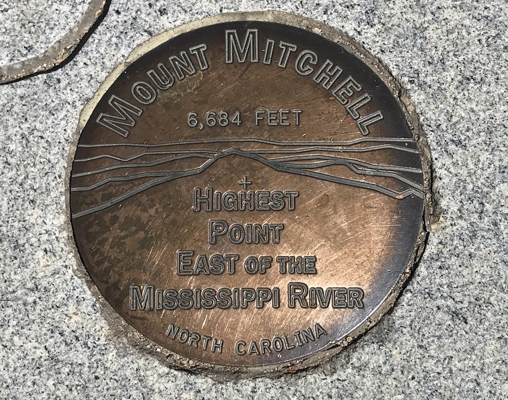
- Highest Point: Summit elevation is 6,684 ft
- US Highpoint Rank: 16
- Peak Prominence: 6,089 ft
- Location: Burnsville, North Carolina
- First Summit Hike: Dr. Elisha Mitchell in 1835
Growing up and living the majority of my life in the Northeast, you think of Mount Washington as the center of the mountain world outside of the Rocky Mountains.
Man, is this a nearsighted way of thinking about mountains! As an adult and also a very active hiker, I realized years ago that, while the White Mountains are unique and challenging in their own right, they don’t provide the vertical challenge other regions of the country do, like North Carolina, for instance.
Another great example of Northeast versus Southeast is New York. The state has 3,607 named peaks, but the high country is lacking above 4,000 feet.
Writing this article, I become fascinated with all these facts, so here is a quick visual of what I am explaining. Perhaps you (and everyone?) is already aware of this, but if you are not, and if you are a mountain geek like me, then you will probably find this stuff interesting.
What the White Mountains have the others don’t (at least in so far as I am aware) is the hut system maintained by the AMC. You can spend a week above tree-line going from hut to hut if you choose. It’s pretty awesome.
My Trip To North Carolina
I arrived in North Carolina the day prior to when I planned to complete the hike. As I have mentioned before, I tend to do this so that I can scout the trailhead and get familiar with the route there from wherever I am staying.
The route to the trailhead is down a long road that ultimately became unpaved. The trailhead is located within Black Mountain Campground (Briar Bottom Group Campground), and there is a large parking lot just outside the entrance. If you don’t bring a trail map with you, they have some freebies at the campground.

Hiking Day
I set our around sunrise for the trail and was met with some fantastic “smokey mountain fog” even though I wasn’t technically in the Smokeys. It was super dense and definitely gave me the sense of being more like smoke than fog.

The hike is listed as being a strenuous 12 miles round trip. I used the Mount Mitchell trail, which is the most commonly used one to get up to the summit, from what I gather. The trail is very well marked with both blue blazes and these blue placards, from time to time.

Once I made my way through the campground’s local trail leading to the actual trailhead, I realized quickly that the Mitchell trail is a series of switchbacks. Switchback hiking is fine, but it’s not my preferred hiking style because it feels really repetitive to walk back and forth up the trail. The majority of the hikes in the White Mountains are direct and to the point, with crazy elevation gains in short distances (sometimes more than 1,000 feet in .4 miles). Switchback trails are most necessary for serious elevation gains that you find in the Cascades or the Rocky Mountains. You won’t hear any complaints from me hiking this trail type out there.
Don’t get me wrong; this hike was not a walk in the park by any means. I knew that by the end of it, I would have hiked to the summit of the highest peak east of the Mississippi River and gained more than 6,000 ft. There were definitely moments on the hike I became winded and felt the burn in my legs.
Commissary Ridge Views
I didn’t see many others on the trail that day, and in fact, I didn’t see anyone for the first couple of hours which was nice. The views from the Mitchell trail on the way up are sparse due to the fact the mountain forest is so densely wooded. You do reach a nice overlook at Commissary Ridge, which is 4.4 miles from the hike’s start. The only bummer about the view is that there are power-lines present which are unfortunate.
From Commissary Ridge, there are another 1.6 miles, and this section of the trail I really enjoyed. It was cut more directly upward with a nice steep grade, which provided a nice challenge. It’s in this section I started encountering other hikers. I determined folks were driving to the top of the mountain and then hiking down for a while and then back up.
Just before the summit, there are a series of spectacular boulders all around and on the trail. So large, in fact, they created a shallow cave system. There was a group of kids there for what seemed to be some sort of nature class. This was my clue that the summit was super close, and I was right.
Mount Mitchell Summit Experience
It’s always a joy to reach the top of a mountain, especially one above 6,000 ft. Mount Mitchell had an additional little bonus because I knew I had just hiked to the top of the east coast in the back of my mind.
The overall experience at the top, to me, is disappointing. You leave the forested trail and come out onto a paved path leading you to the summit the rest of the way. Sweaty and tired, I was trudging along with loads of people who drove up – it takes away from experience if you know what I mean?
I needed to remind myself that Mount Mitchell is a state park, after-all, and state parks tend to look at ways to commercialize (there are gift shops and food stations) the experience to open up access to more people. I totally get it and am not against the motives at all. However, from a hiking experience perspective, it’s not ideal. Worth noting is there is also a museum there at the top, which I found really interesting.

An observation deck highlights all the peaks visible from that location at the top (above the parking lot, gift shop, and museum), which is really cool. Perhaps the unique thing about the summit of this mountain is the fact there is a gravesite! Named above as the first person to summit Mount Mitchell, Dr. Elisha Mitchell actually died in that effort, and the decision was made to bury him at the summit. There’s a sign down in the parking lot that memorializes Dr. Mitchell.

View From The Top
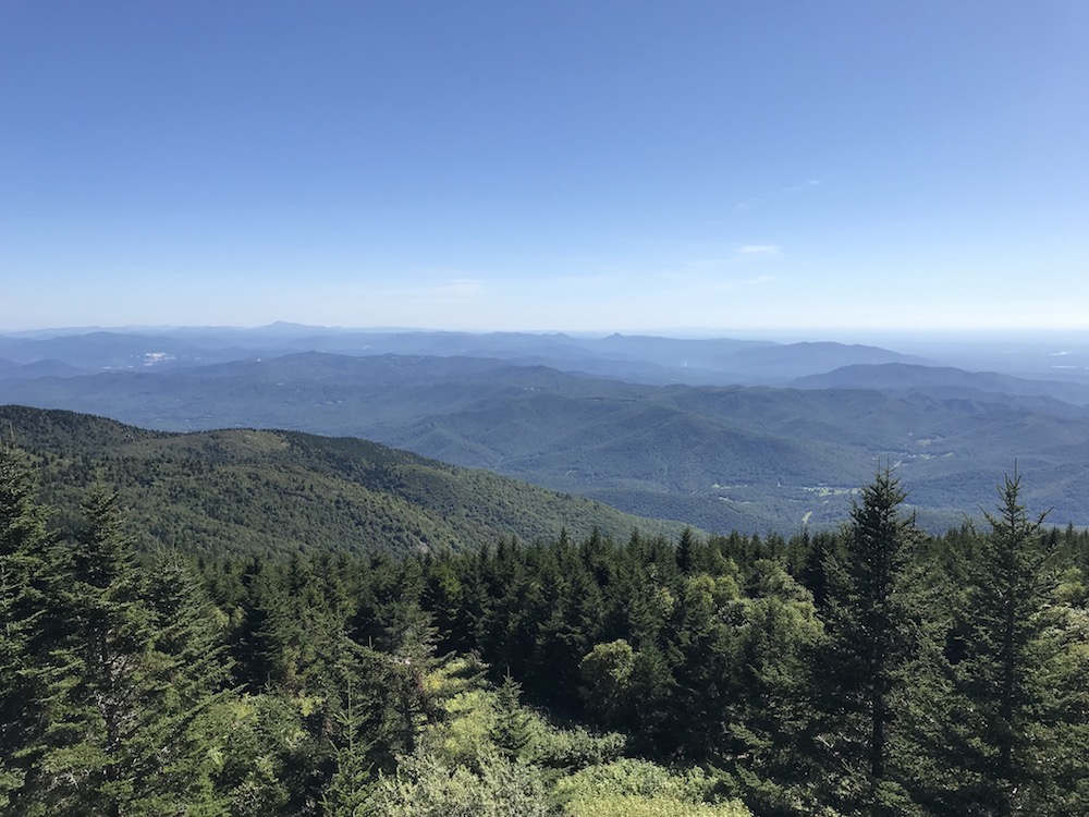
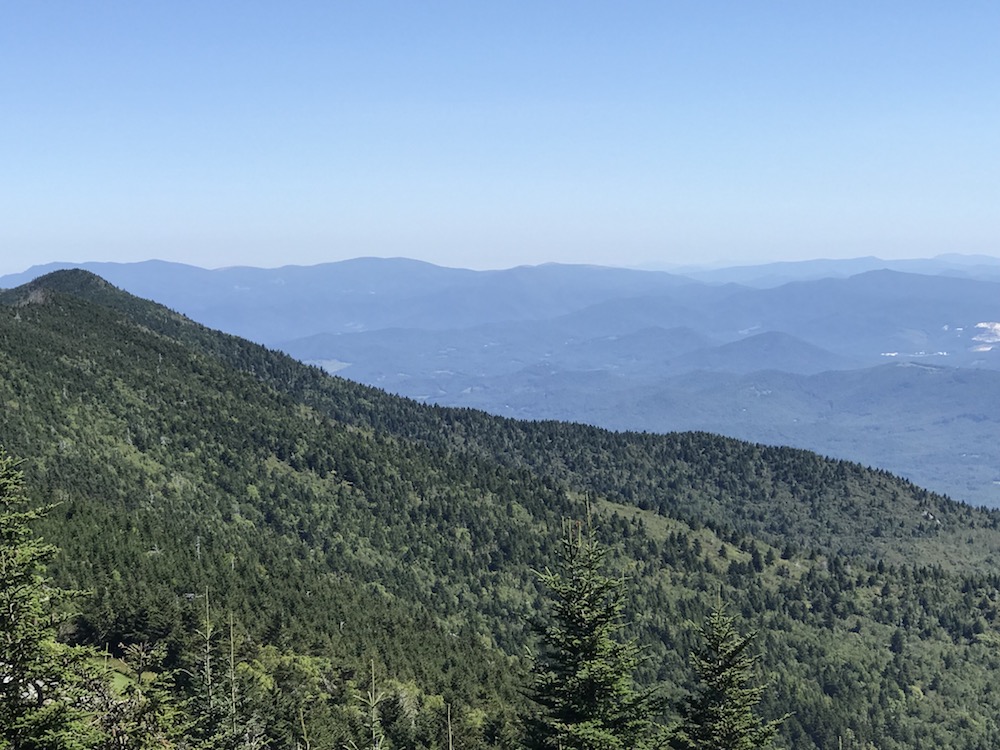
Unlike the obstructed views down at the Commissary Ridge, the views from the top of Mount Mitchell are spectacular. It puts into perspective how prominent the peak of this mountain is when you consider the peaks visible from the top are mostly at elevations of 5,000 ft or more, although they look small from the top of Mitchell.
Trip Summary
This trip down to North Carolina was a fantastic experience. Not mentioned in this article were other activities I did, like drive 90+ miles on the Blue Ridge Parkway and spent time in Asheville.
The hike itself was a mixed bag of good and bad surprises, but at the end of it all, I crossed another highpoint off my list while expanding my awareness of how vast the mountain situation is down in the Southeast. Before this hiking effort, I was not aware that North Carolina had so many peaks above 6,000 ft – it puts many things in perspective for me.
I recommend this hike for the obvious reasons like it’s the tallest on the east coast of America, but also for the other unique things like where the trailhead is, that area around the mountain, the people, and the general vibe of being in a southern state (all politics aside).
I expect to plan another hiking trip down to NC to explore that vast mountainous landscape and build new memories of what I feel is an overlooked hiking mecca on the east coast.


