Mount Elbert is a famous mountain, even for the most casual hiker. Being the highest in Colorado, Elbert garners a lot of attention from hikers each year. Colorado hiking is all about completing checklists. With so many mountains saturating the Colorado landscape, hikers, trail runners, mountaineers, and everyday hikers combine mountains under various categories (14er checklists) to organize the peakbagging.
My checklist is to hike all of the Colorado 14ers by difficulty rating. I’m starting with Class 1’s and will continue through the list all the way to the class 4’s.
Mount Elbert, even though it’s the tallest in the state and the second-highest point in the lower 48 states, it’s categorized as a class 1 difficulty. When hiking this mountain in the summer months, it’s supposedly just simply following the trail to the top.
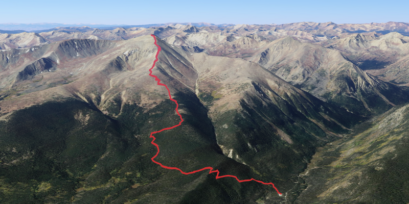
Highpointing Mount Elbert
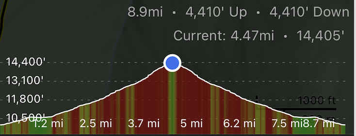
Listed ascent mileage: 4.47 miles
Actual ascent mileage: 5.1 miles
Total ascent: 14,405 ft
Total time: 10 hours
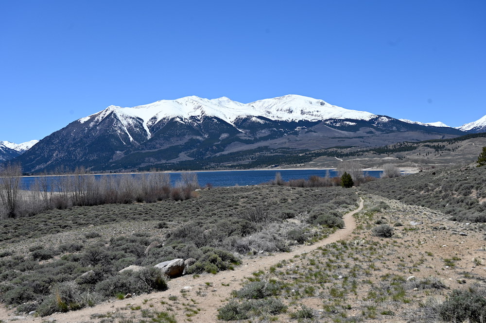
However, highpointing Mt. Elbert in the snow changes things and makes the effort more difficult than a typical class 1. In my opinion and from my experience on the hike, Mount Elbert in deep snow cover is a class 2 mountain. Class 2 has distinct criteria that include “more difficult hiking that may be off-trail. You may also have to put your hands down occasionally to keep your balance. May include easy snow climbs or hiking on talus/scree. Class 2 includes a wide range of hiking and a route that may have exposure, loose rock, steep scree, etc.“
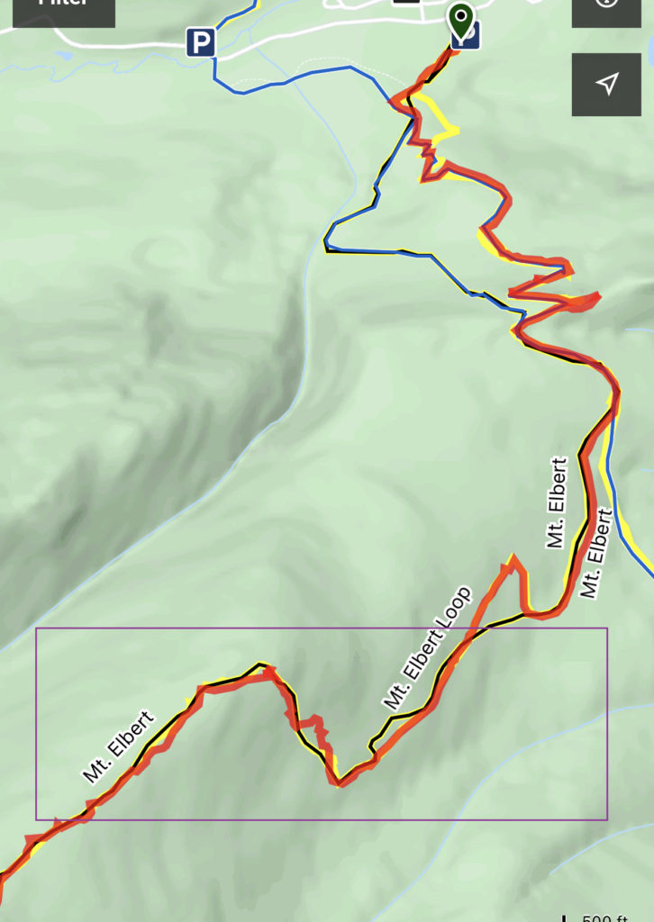
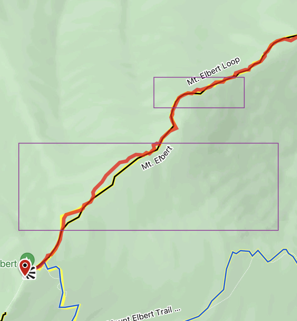
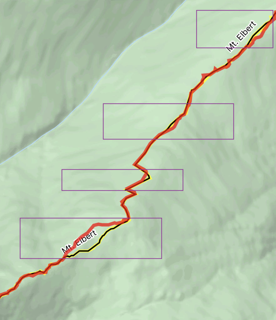
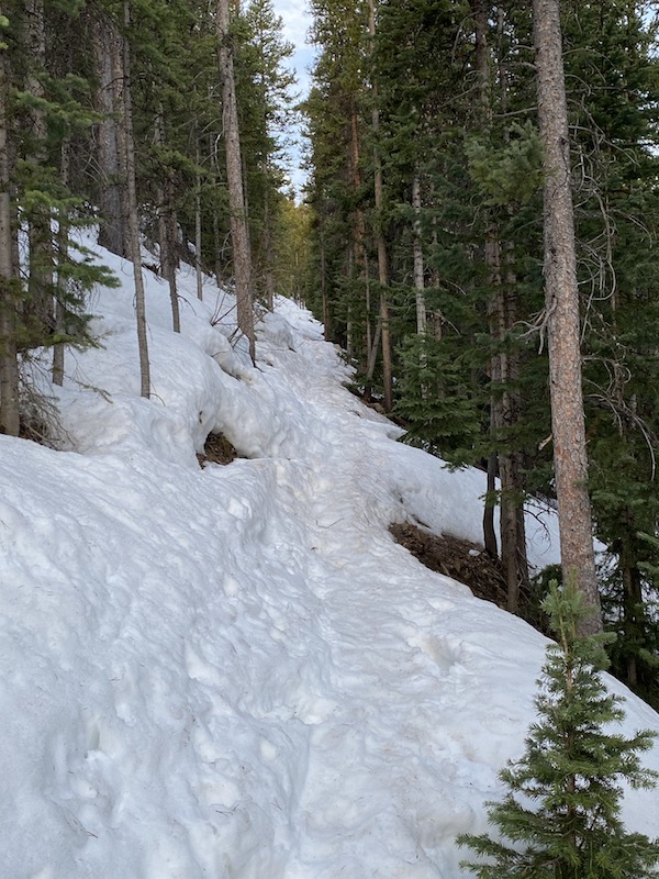
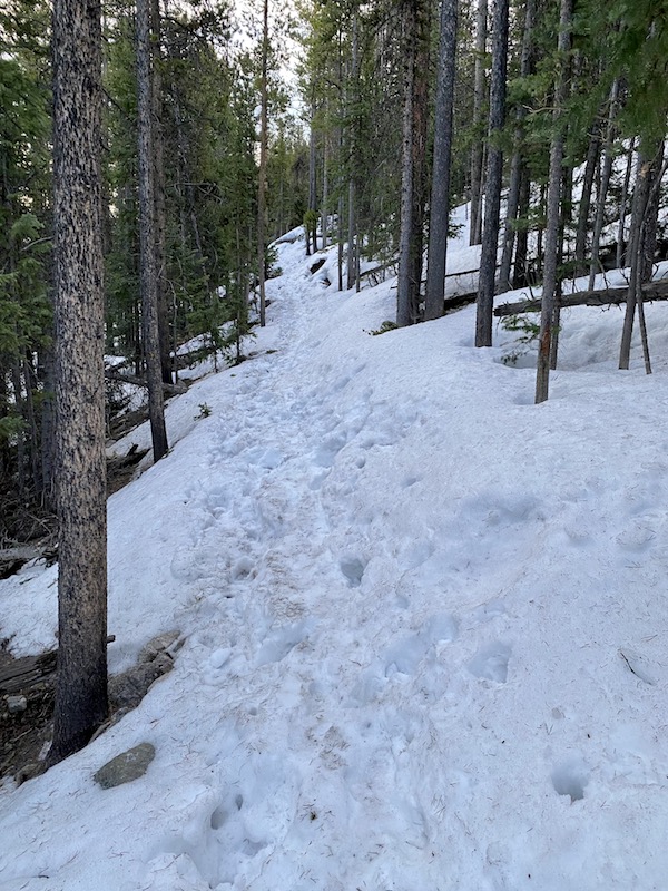
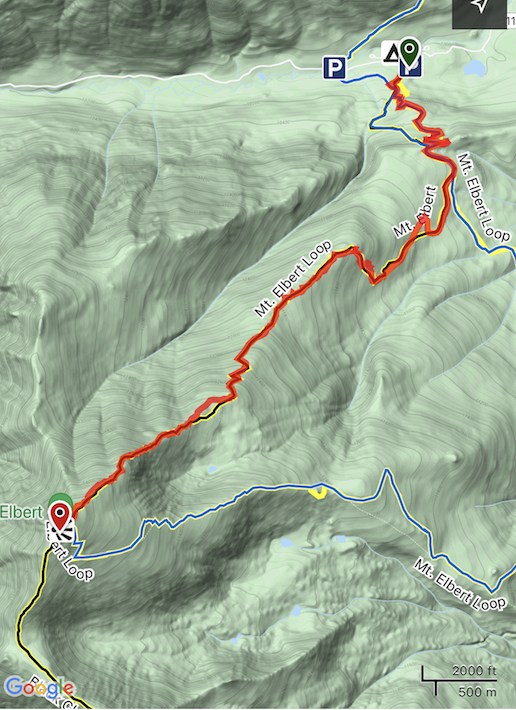
If you plan to highpoint Mt. Elbert in the early spring, you should keep in mind these important details. To start, with 3-4 feet of snow on the trail, it’s inevitable trail finding (i.e., hiking off-trail) will be part of your experience. From my trail recordings below, you can see that there were many times through the ascent that I lost the trail. In these moments, I would need to bushwhack back to the trail using GPS. I want to mention that I have good trail sense when hiking. But tracking the trail through deep snow early in the morning is a game-changer. Also, the North Elbert Trail does not have tree blazes to follow, and there are very few cairns above the treeline. Once you break the treeline, you are exposed to elements for over 2 miles.
Losing the trail in the snow
Hike Day
I spent 2 days in Leadville leading up to the hike. The reason for this is that I wanted time to allow my body to acclimate to the thinner air and also to scout the various trailheads and parking.
I got to the North Elbert Trail parking lot and trailhead at about 5:45 am and was on the trail at 5:50 am. The early start is something I always do. It’s a good practice to have especially when hiking a 14er.
The trail starts off following The Colorado Trail, and the conditions were frozen pack nearly immediately upon starting.
Mount Elbert Trees
The early part of the trail stayed about like the above pics and video show until I reached the heart of the trees. On the North Elbert Trail, you basically start the hike by entering the treeline, and then you break through it and out onto the open mountainside.
In the heart of the trees is where the deepest snow was experienced. I got through this section fairly easily with shoe spikes and poles, but that’s because the snow was frozen still in the early morning hours. It was a whole other story going through this section later in the afternoon; however, it all turned into soft snow. More on this later in the article.
Hiking Above The Trees
Once I got out of the trees, I could pick up my pace significantly on the hard-packed snow on the higher elevation. The views of the surrounding Sawatch Range started to reveal themselves at this point, and they are beautiful.
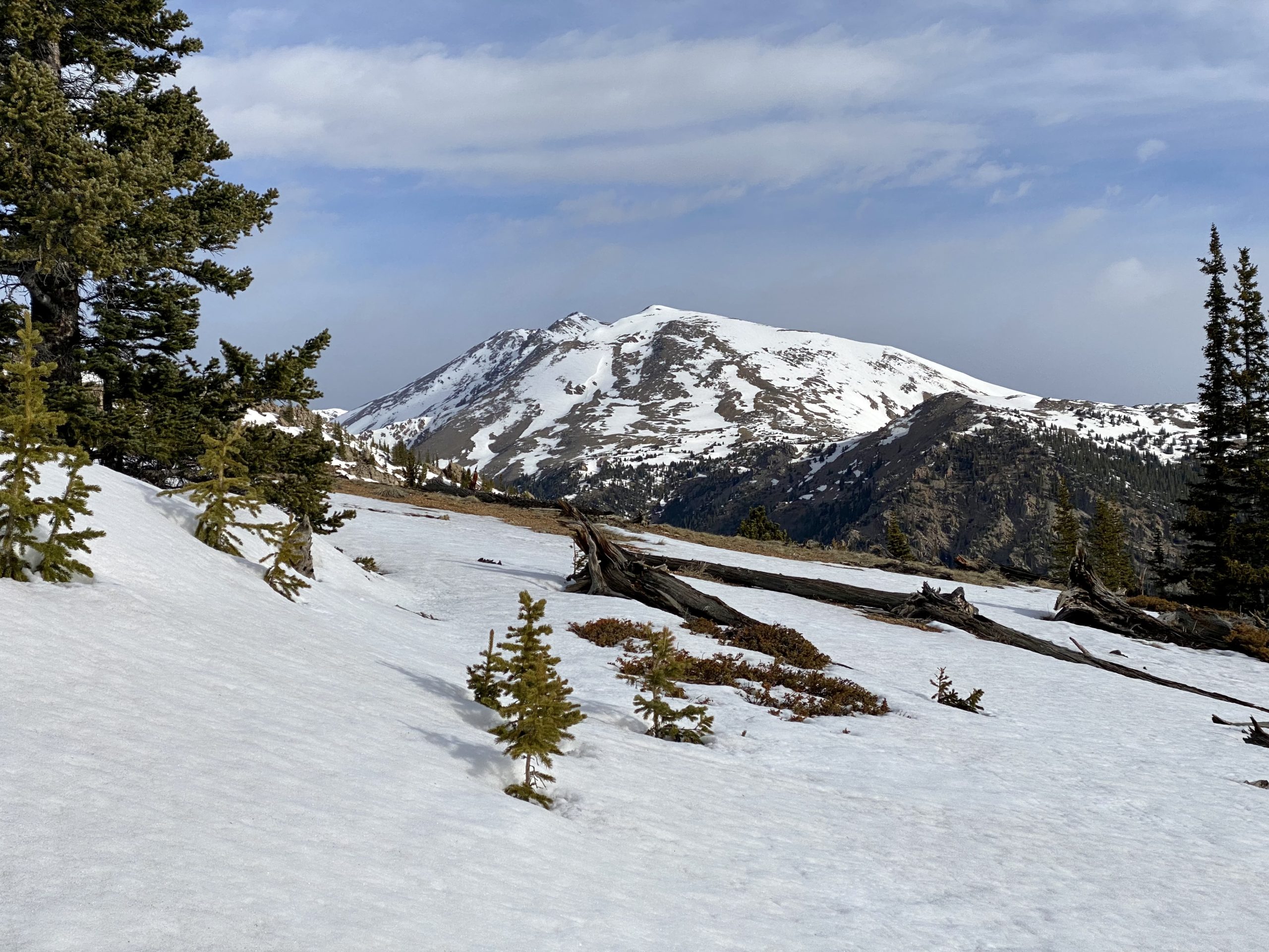
The forecast for the day was calling for a 40 percent change of rain in Leadville and the surrounding areas, starting at noon. I was using this time as my goal to summit and be well into the trees again before the weather started.
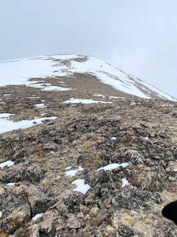
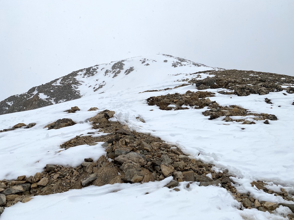
Unfortunately, I was surprised in the 10:00 am hour by two snow squalls that blew through. There was no significant snow accumulation, but the visibility cut down to about 50-100 ft, which was enough to make me a bit nervous.
At this point, I was still under the false impression that the first peak you reach on Elbert is the summit peak, which it is not. In fact, the peak you see from a distance when looking at the mountain is one of 3 false peaks. Because I was disillusioned by the peak situation and thinking that I was pretty much complete with the hike, I pushed on through both waves of storms that came through. They were separated by about 20 minutes.
The storms blew in from the west, and each one arrived quickly. I was at about 13,000 ft, watching them come in from a distance. I knew there were (maybe, 2 people) behind me on the trail, but it had been hours since I passed them in the trees, so I couldn’t be certain they were still climbing. The isolation I felt with the visibility dropping down was immense.
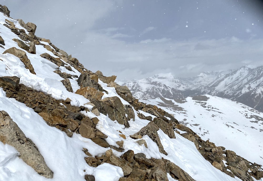
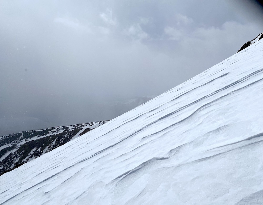
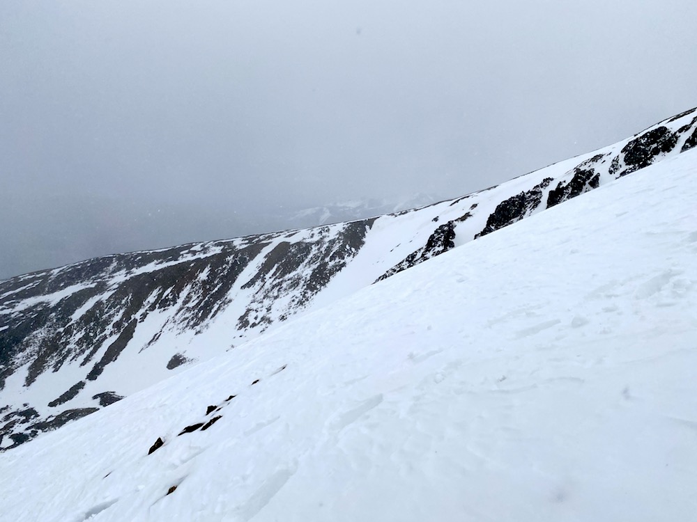
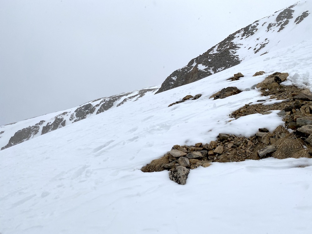
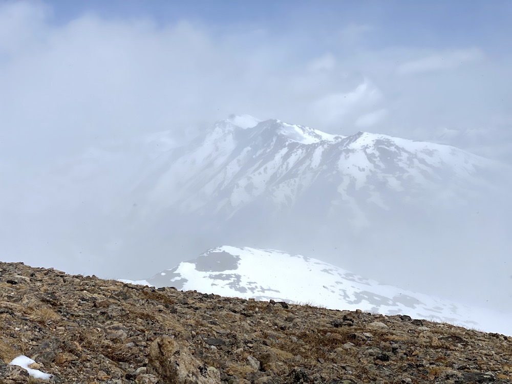
After the storms cleared, it lifted my spirits, and I was back to my normal pace getting up the mountain. I still knew there was a high likelihood that another storm was brewing, so I wanted to get back to my plan of being up and off the summit by 12 pm.
Highpointing Mount Elbert
Pushing To The Summit
I had read about the false peaks on Mount Elbert, but honestly, I didn’t think too much about them, so I wasn’t fully prepared for the demoralizing nature of them. I felt like I was at the top more than once, only to see up ahead another steep ascent waiting.
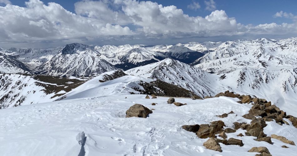
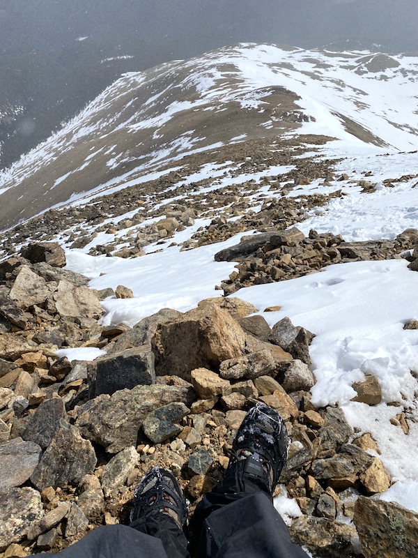
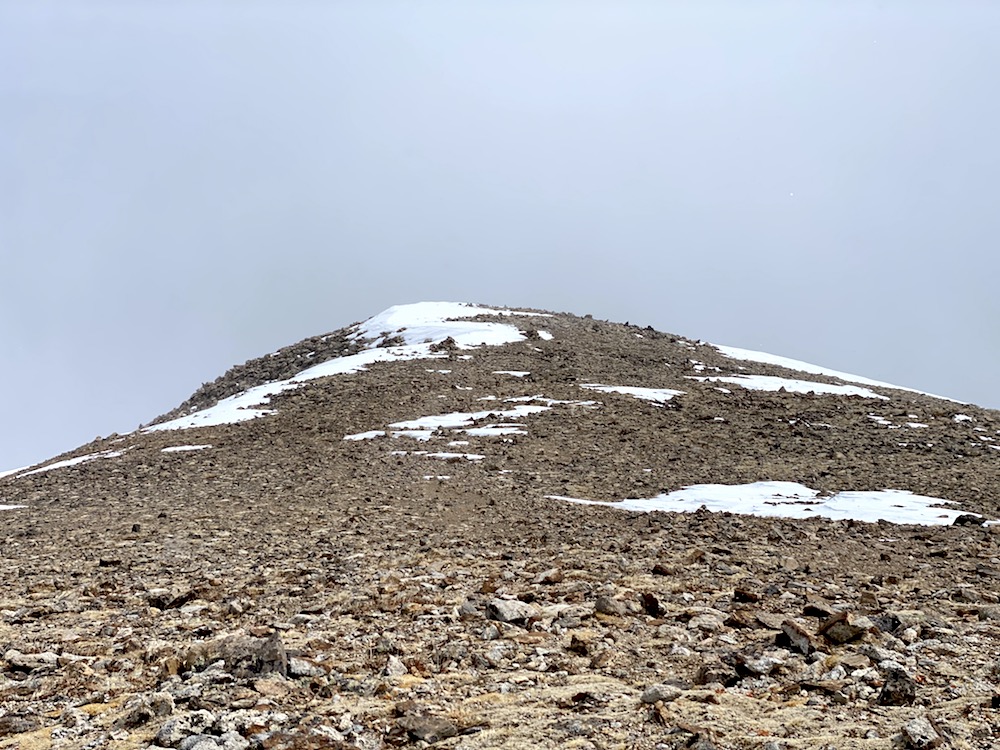
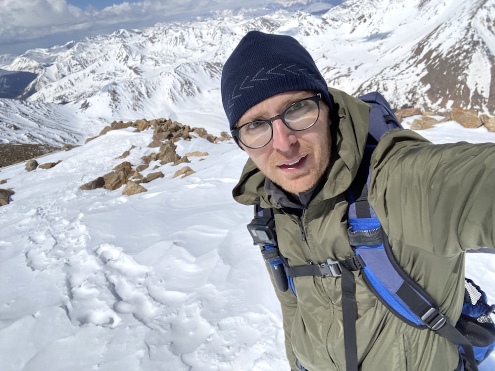
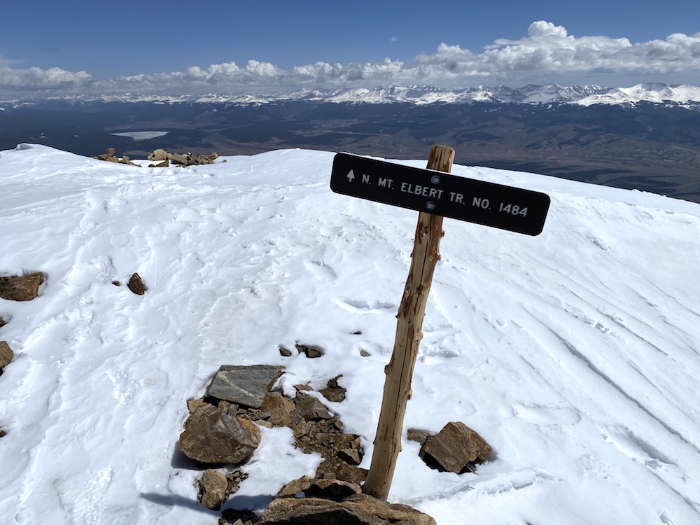
I did finally make it, and as I did, all the cloud cover cleared, which revealed the breathtaking views of the endless peaks off to the southwest, west, and northwest of the summit.
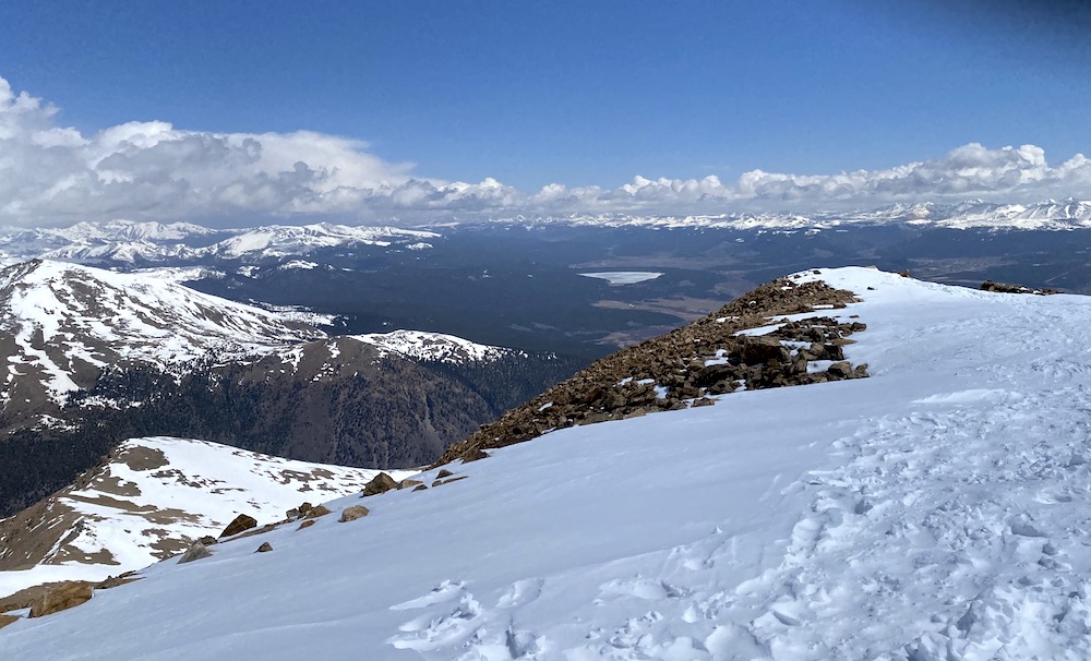
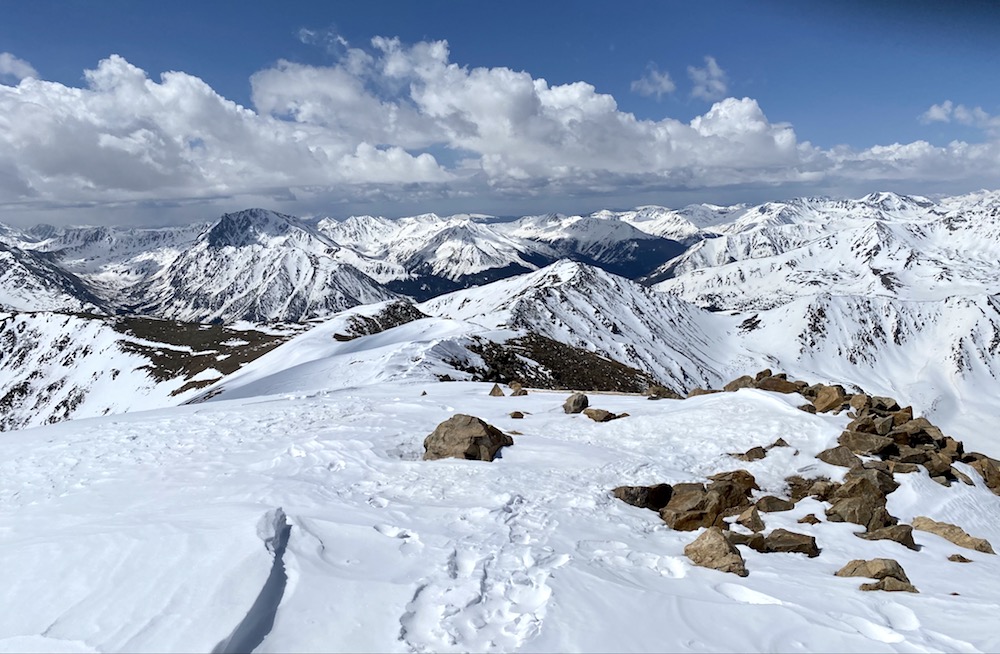
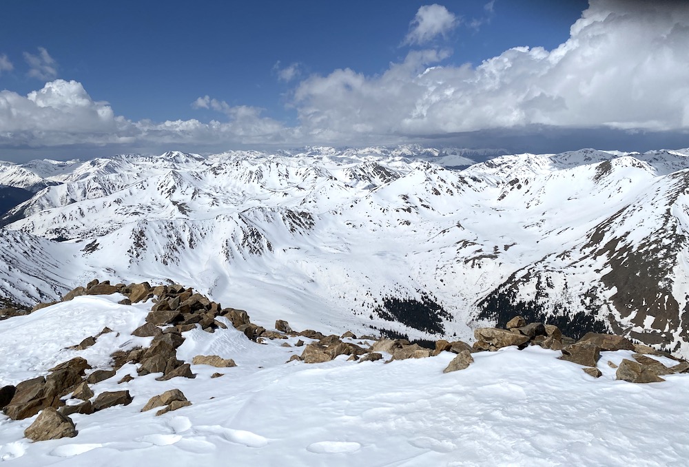
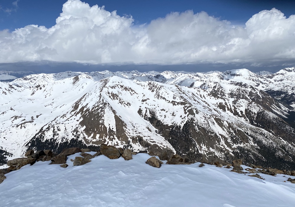
I stayed on the summit for about 5 minutes and then started my descent. I left the summit at about 11:25 am, which was a little behind where I had wanted to be with the timing of the day.
An interesting fact about Mount Elbert is that at any given time, a person standing at the summit is very likely to be one of the very few people standing at the top of the continental United States. The only mountain with a higher elevation is Mount Whitney in California, and you need a permit to hike that one. Due to the permits at Whitney, the time of the season (and time of day), and the fact I was alone on the summit all adds up to a very high likelihood I was one of, or even the only, person at this height in all of the lower 48 states. Pretty cool to think about.
Starting The Descent
It wasn’t long into the hike down before the actual storm arrived. This one was for real, which meant the other two were just mere warnings. The cloud became much darker this time, and the wind picked up significantly.
I was back to the first false peak when I spotted the other two hikers referred to earlier in summary. I had to be the bearer of frustrating news to them about where the actual summit is and how what they see ahead of them is just a “warm-up.” They were concerned about the weather and asked me what they should do. I advised them to keep an eye on the approaching storm and see if they could make it to the top of that first peak. Then they could at least say they made it that far and got above 13,000 ft.
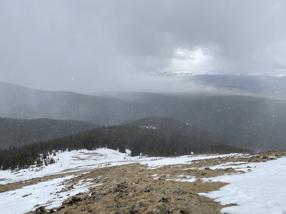
I wished them luck and was on my way. I got about 200 yards and looked back to see them heading down in my direction. I felt bad for them; they made it pretty far into the trek and won’t be able to say they made it to the top. This has never happened to me, and I hope it never does.
At this point, I was so determined to get back into the tree line. For some reason, I thought things would be better dealing with the storm from there.
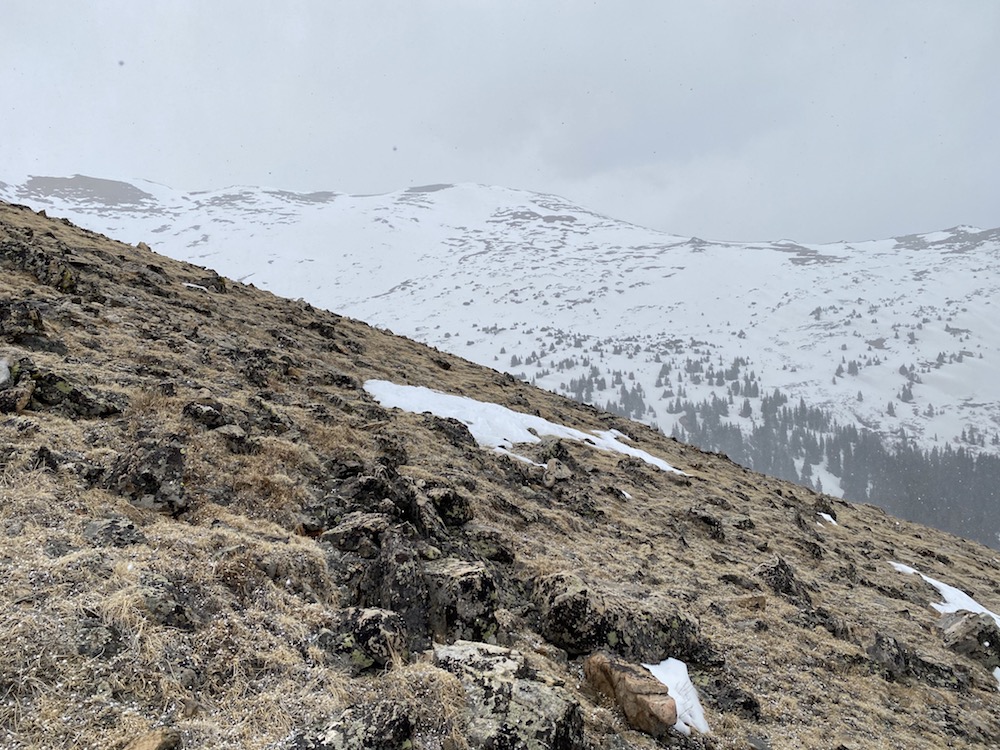
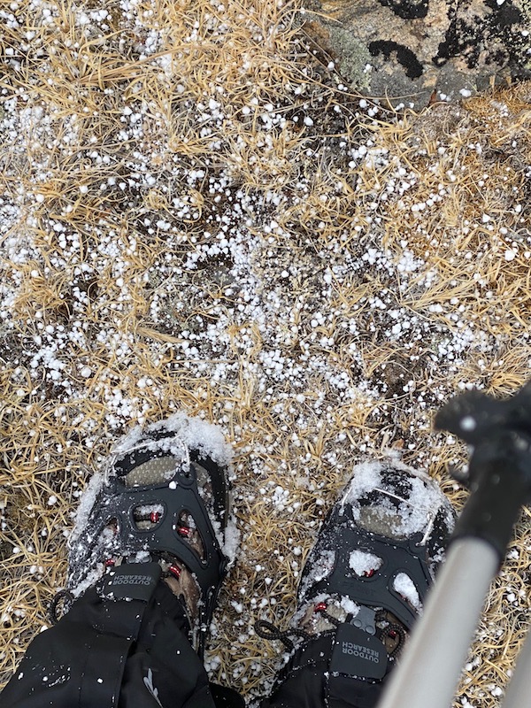
The storm grew in intensity, and before long, it was spitting pea-sized hail at me. This was a minor annoyance; I wasn’t too concerned about the snow. I had a full winter jacket with a mummy hood in my pack and other winter-weather gear just in case, so I felt prepared. What sucked was that the hail was making the terrain slippery, which meant I needed to slow my pace some.
Back Into The Trees
I stopped short of the tree-line to put my snowshoes on. Remembering what it was like coming through this stretch in the morning and all the postholes left by others, I was hopeful having the floatation would help me skim along the surface and cruise through back to the dirt trail.
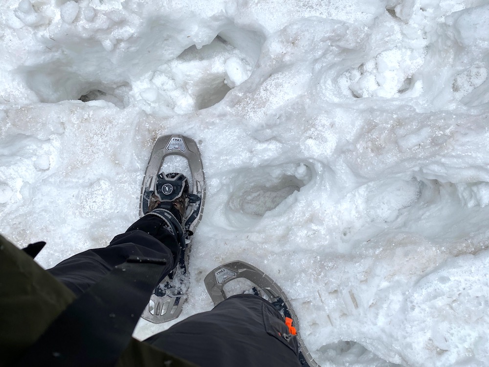
The trek through the woods started OK. I was able to stay on top of the snow for the most part and not fall thigh-deep into it like those before I had, judging by the postholes.
However, this fortune did not last, and soon and I was sinking through, even with floatation, and the hike became very hard due to pulling the snowshoes out of the snow each step I took.
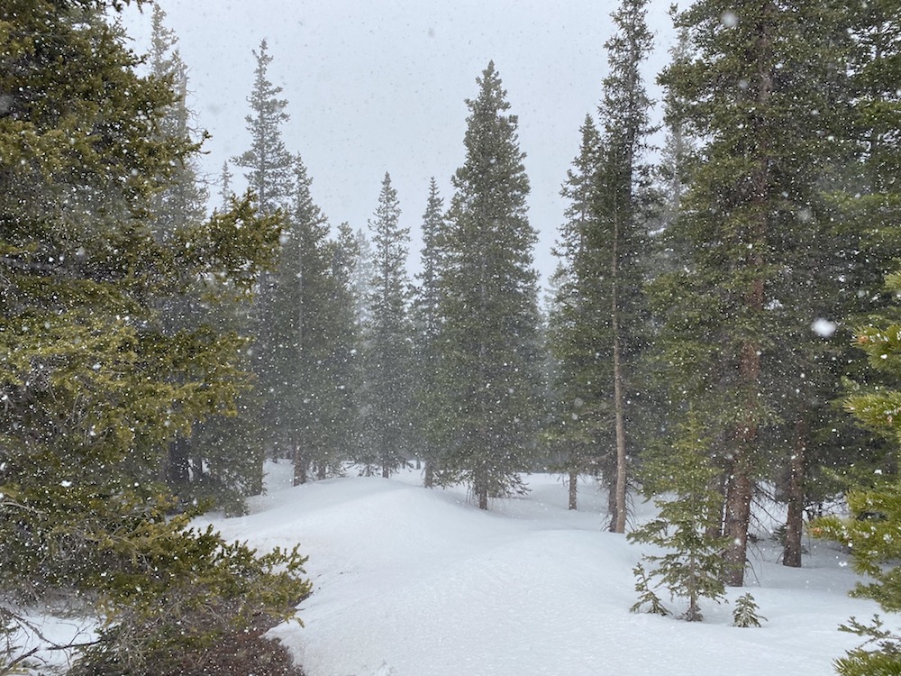
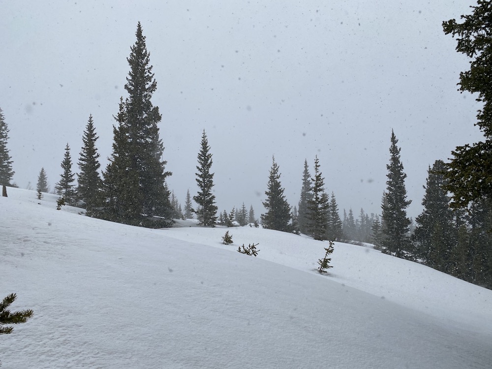
At this point, the storm was brewing pretty full force above me, and looking around; it was easy to confuse the seasons. Instead of May, it literally looked like it could be December or January.
Trail Finding Issues
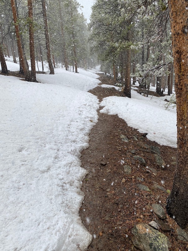
It wasn’t long before I lost the trail, and for what was about 1-1.5 miles, I was in thigh-deep snow, and it was pretty much a nightmare situation. In the pics at the top of this article, I outlined how, on the ascent; I lost the trail many times due to the snow; well, keep in mind that losing the trail with all this snow on the mountain is a pretty big deal. In reality, what it means to lose the trail in these conditions is that you are trudging through deep snow and burning energy quickly.
I fell a few times, and at one point, my right foot, snowshoe and all, sunk so deep that I was stuck. I could not get my foot up and out of the snow; the snowshoe had become lodged deep down. After digging it out (meanwhile, I am literally nowhere near the actual trail), I decided to strap the snowshoes back in place on my pack and wade (push) my way through the snow while trail finding. Just brutal.
This went on for a couple of hours as I would find the trail to lose the trail continuously. I don’t have any pics from this portion of the experience because I focused on safety and trail finding.
But I finally made it back to the semi-dirt trail, and it was such a relief because my GPS was low on battery.
Highpointing Mount Elbert Summary
Like I mentioned at the top of the article, Mount Elbert is a class 1 mountain. This means it is considered less challenging, relatively speaking, compared to the other 14ers in Colorado. However, I hope that after reading my experience, you’ll take caution hiking this mountain in the winter or early spring. The snow makes this hike really challenging and, in my opinion, elevates it to a class 2 in difficulty, especially if you don’t have GPS.
It would be best if you had GPS. There’s really no reason not to have it nowadays; there are many apps you can use to help immensely with trail finding. I use Hiking Project’s app for iPhone.
The fact this mountain is categorized as a class 1 really emphasizes how challenging some of the other 14ers are.
For someone like me coming to this hike from sea level, you should really respect the fact your body will be deprived of oxygen for up to 3 days after you arrive at and above elevation. If you are coming in from sea level to hike Mount Elbert, I suggest you stay a couple or few days in Leadville ahead of time. Leadville is at 10,000 ft and is a great place to acclimate.


