

Hiking Mount Hight was part of a multi-peak day hike. I started with Carter Dome and then over to Mount Hight, South Carter, and Middle Carter. The trails used were: 19 Mile Brook Trail, Carter Dome Trail, Carter Moriah Ridge Trail, and Imp Trail. There was a 1/4 mile of road walking at the end, back to the lot. All the peaks qualify as part of the New Hampshire 48 4000 footer list, except for Mount Hight, due to its less than 200 feet of peak prominence.
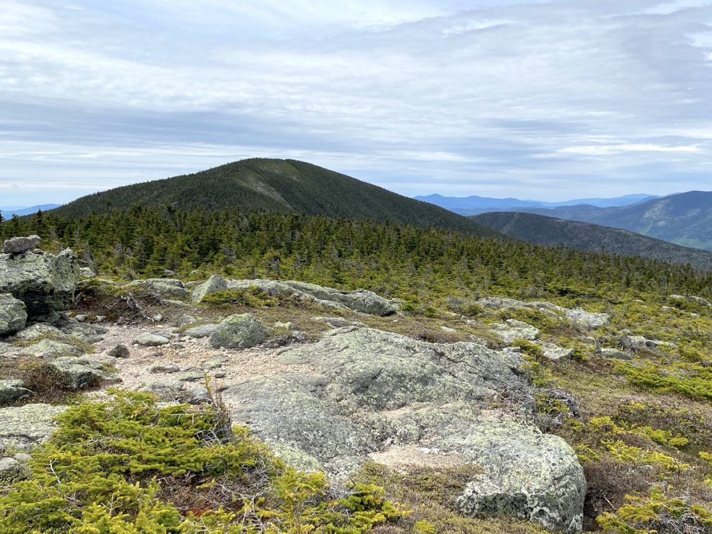
The hike over from Carter Dome is about 1.2 miles, and it forms a loop within a loop as you leave the Carter Moriah Ridge Trail, summit Mt Hight and then return to the Ridge Trail, which in itself is a large loop.
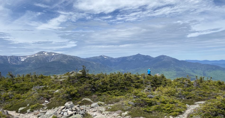
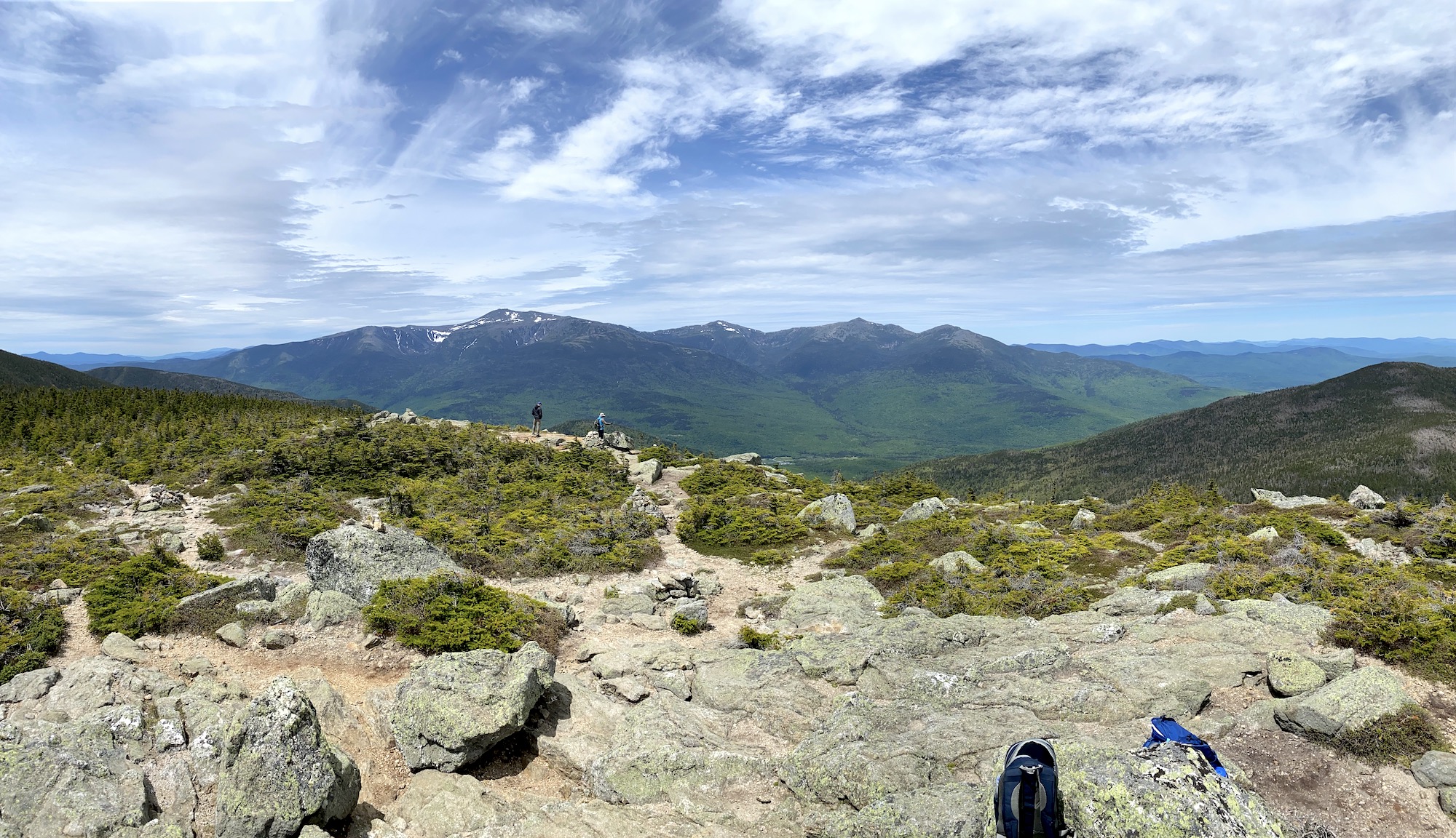
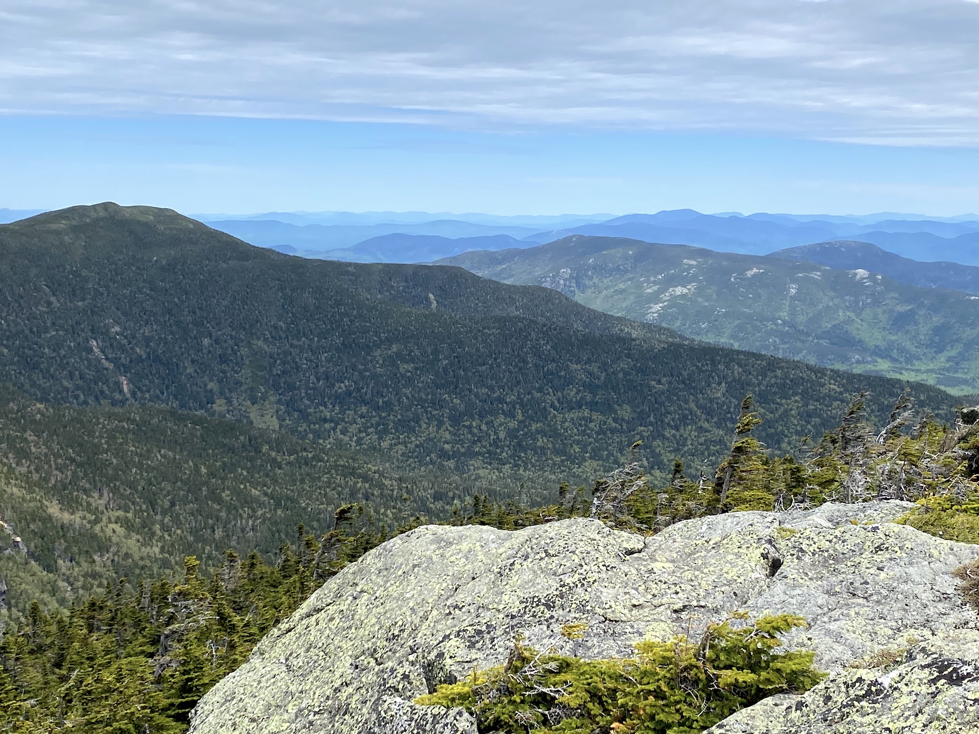
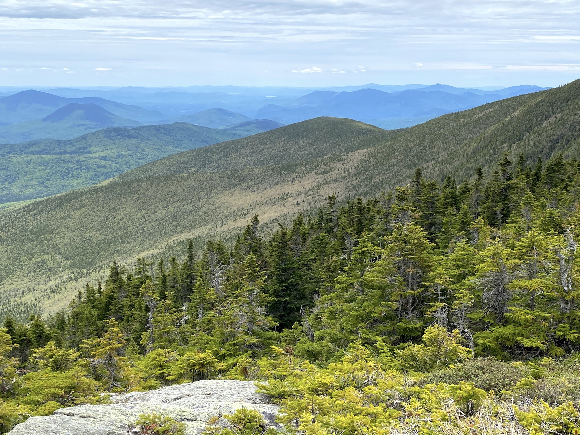
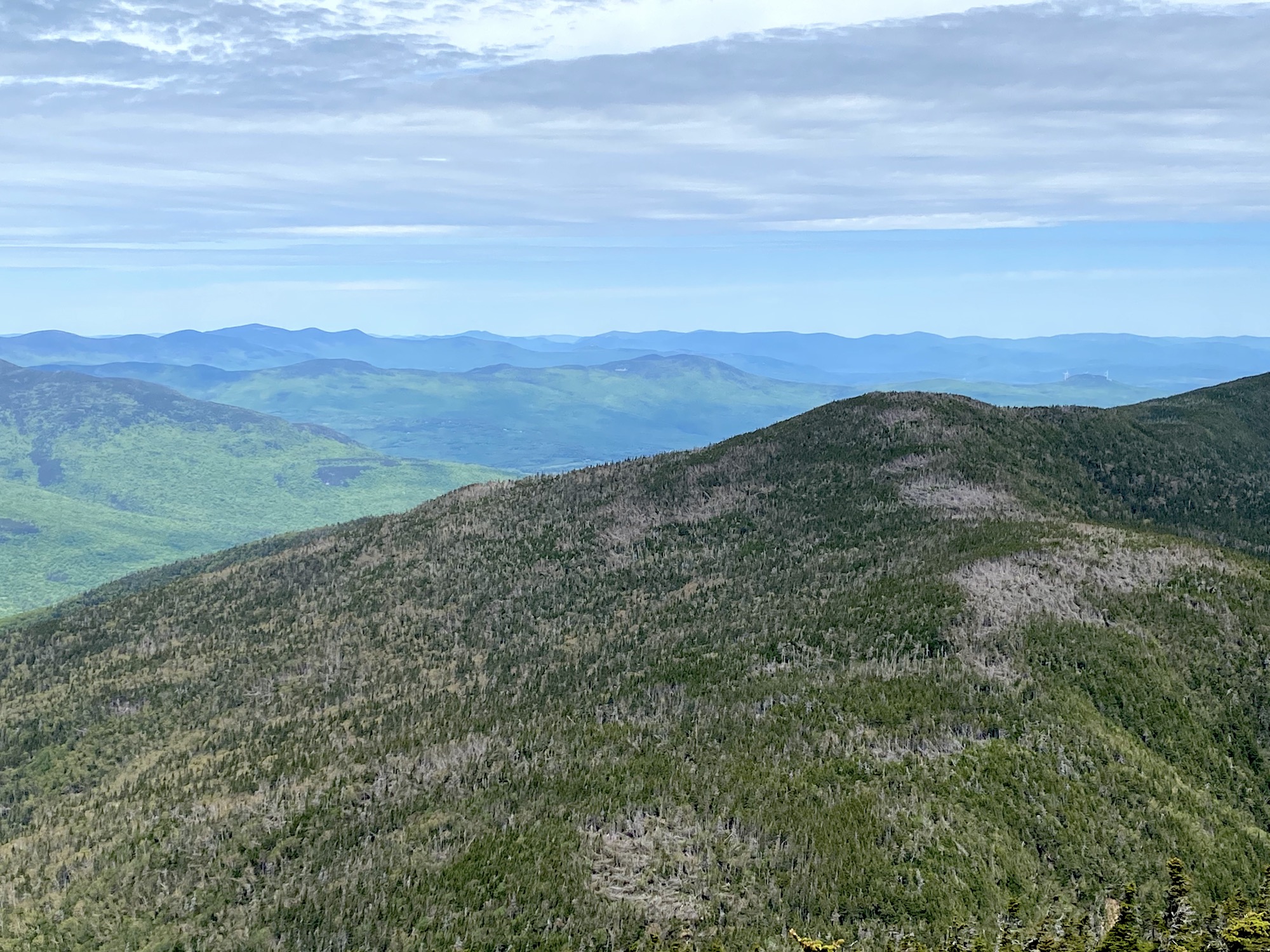
Ahead of this 13-mile hike, many people I spoke with confirmed what I had read about the views from Mount Hight; they were spectacular. In fact, arguably the best view of the northern presidential range. But because this peak is not on the 4ker list, many people will skip it, which honestly is a shame!
Hiking Mount Hight Views
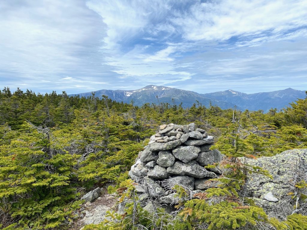
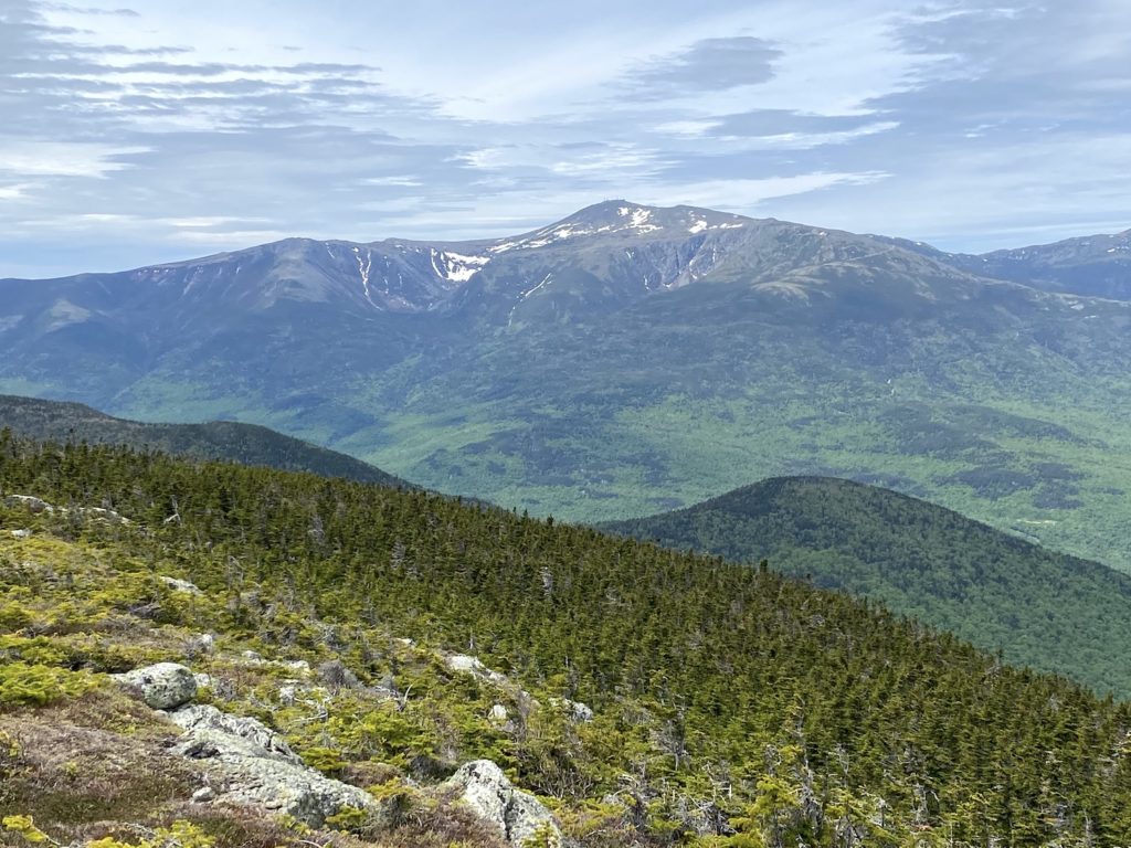
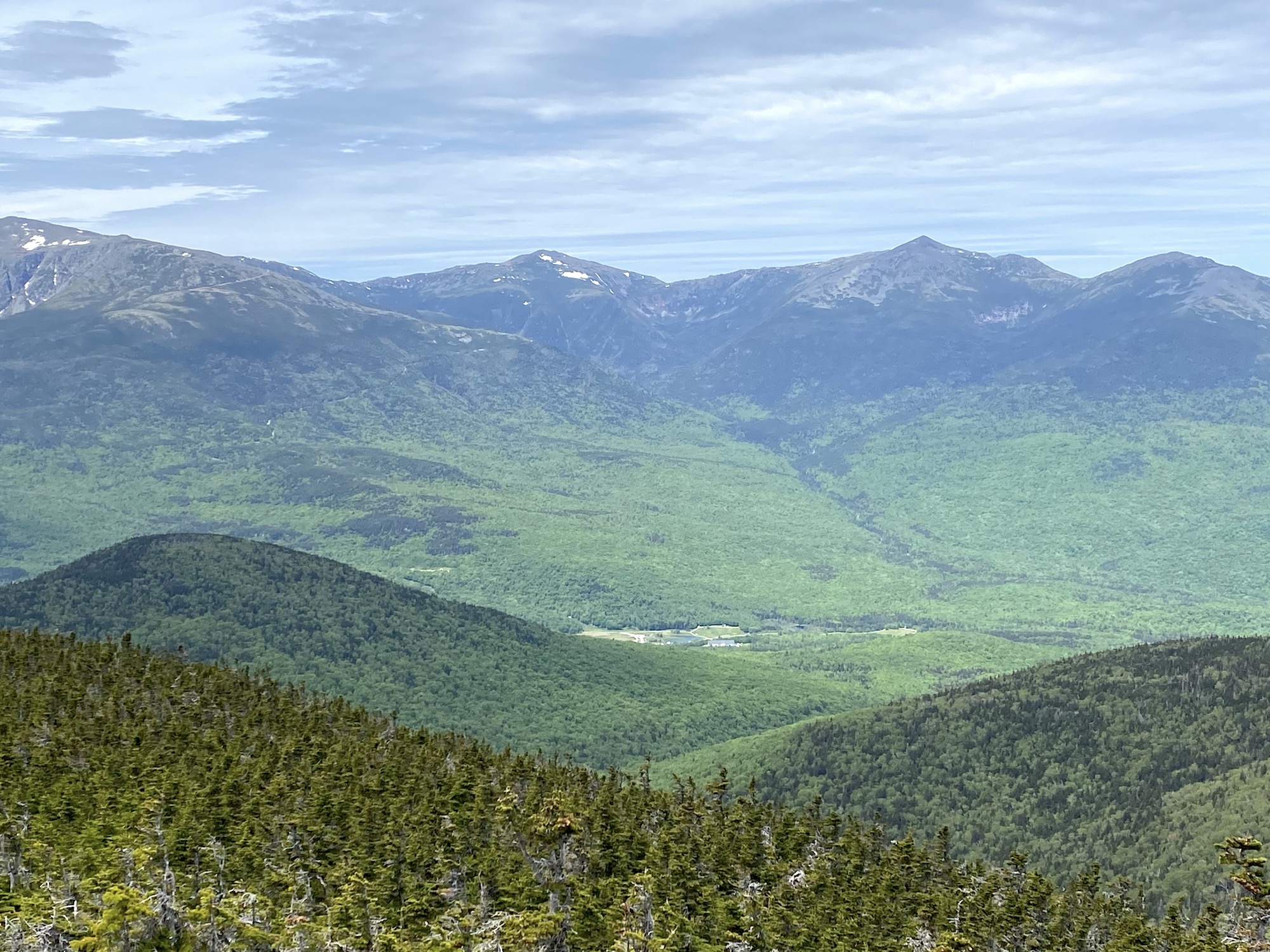
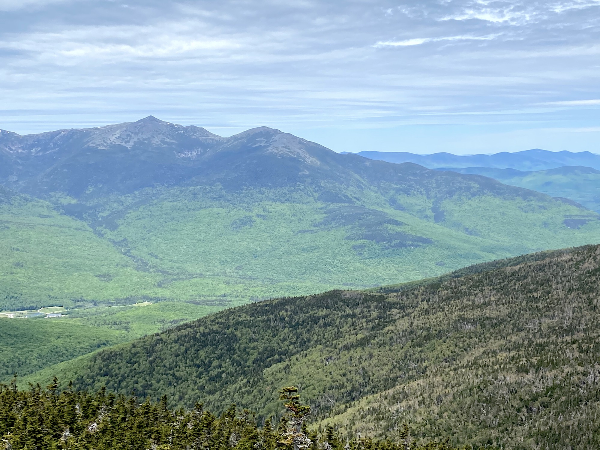
Most notably the view of Mount Washington is impressive. There are other summits where you can see the details of the largest peak in the Northeast, but the fact you can see Mt. Eisenhower, Mt. Franklin, and Mt Monroe to the right is breathtaking.
Mt Hight Photo Gallery
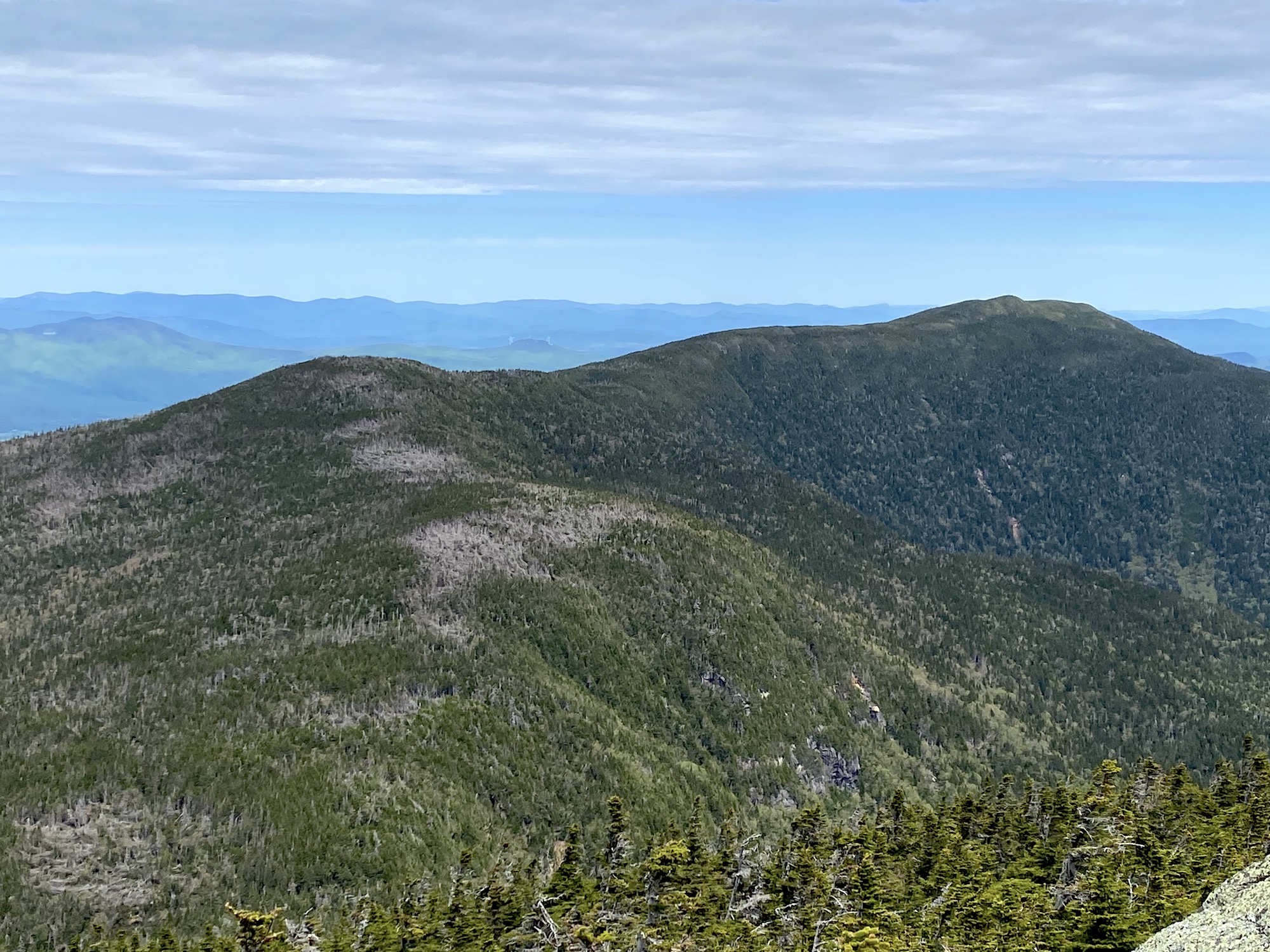
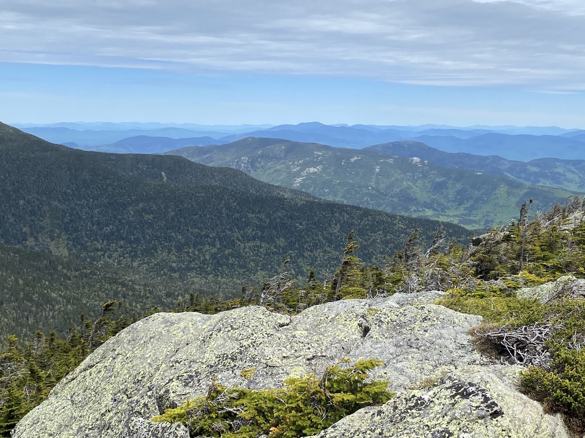
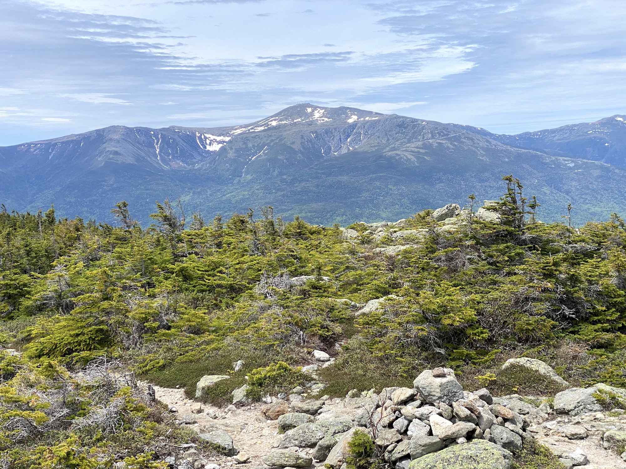
Views from Mount Hight, New Hampshire

