


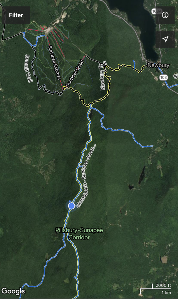
The final day of this 3-day backpacking trip was the most difficult mentally for me. The total miles hiked for this section was 18.1, and it took me about 13.5 hours to complete. A long day.
This portion of the trek has a string of mountains and hills, all measuring over 2,000 ft. That might not sound like a hard feat since they are technically not all that high elevation-wise, but after two straight days of hiking and the pack’s weight, they feel like twice their elevation.
- Lovewell Mountain, 2,473 feet
- Kittredge Hill, 2,140 feet
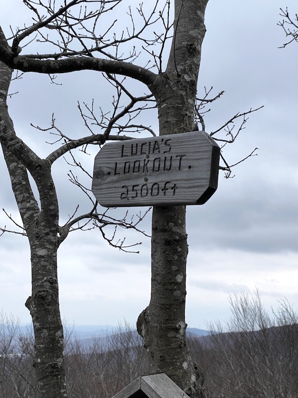
- Lucia’s Lookout, 2,500 feet
- Mount Sunapee, 2,743 feet
Getting Started With Day 3
The day started at 5:45 am with a road walk from the General Washington Shelter. I started about 10 minutes behind the 3 of my 4 shelter mates. They were faster hikers than me, I saw them only once all day, and it was while we were still on the road walk. I didn’t measure it, but this section was probably 2 or so miles. All gravel roads, so not a terrible way to get warmed up for the day ahead.
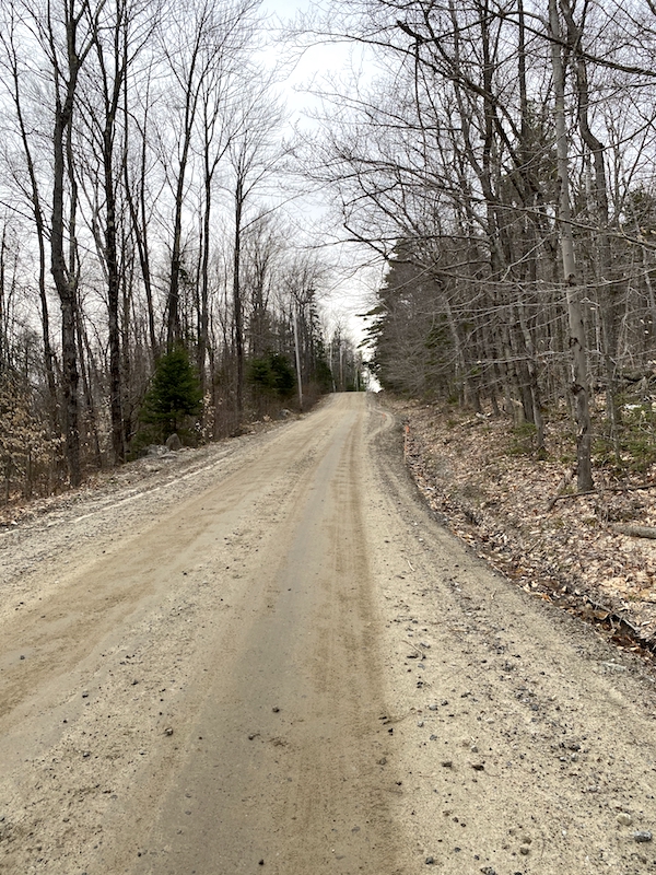
Road Walking Through Washington, NH
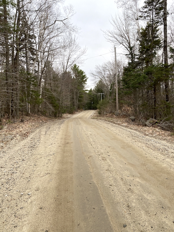
Eventually, I reached Lovell Mountain Road, which is not technically a road but more of a 4×4 fire road, which I like as they seem more like a trail than a road.
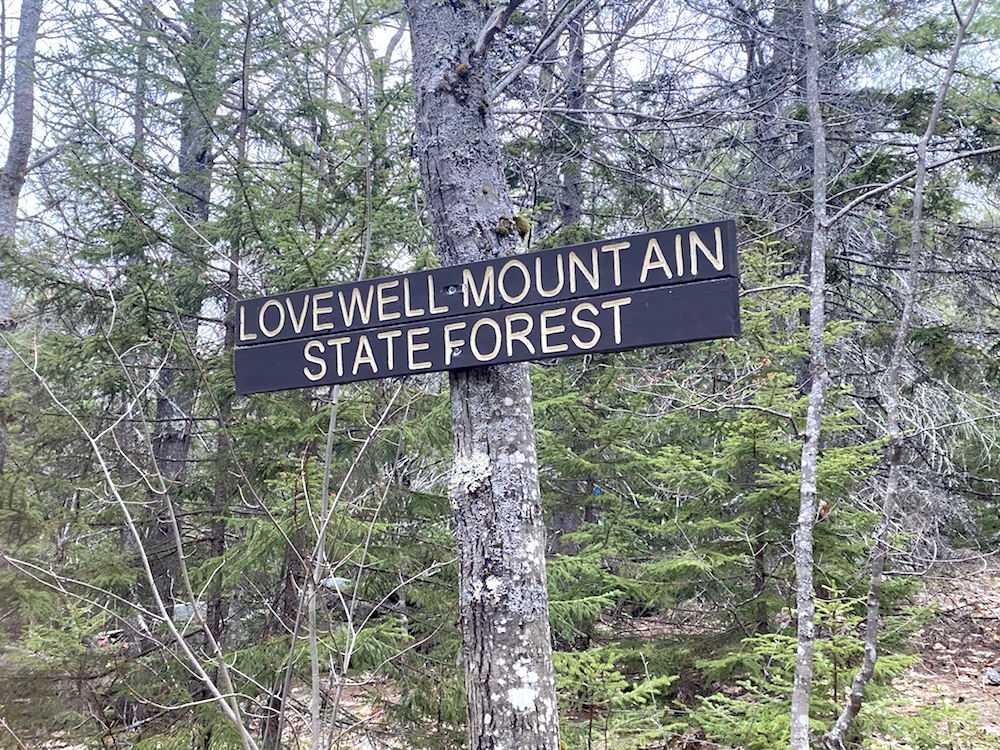
Lovewell Mountain Hike
The hike up this road is not too far, about a mile, soon you reach the trailhead at the base of Lovewell Mountain. The trail doesn’t waste any time gaining in elevation, and I continued to underestimate the ascent due to the total elevation height.
The trail offers some switchbacks but mostly just an earnest, direct shot up the mountain, which burns the thigh muscles and emphasizes the pack’s weight.
The total distance to the top of the mountain is 1.4 miles. The top does not have a view, which was fine with me because I didn’t want to stop at that point.
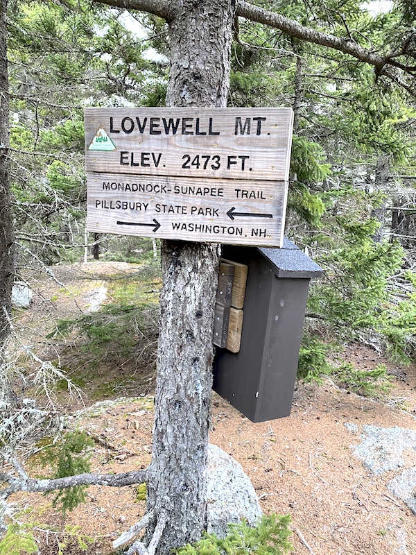
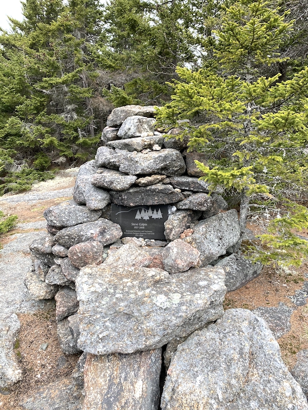
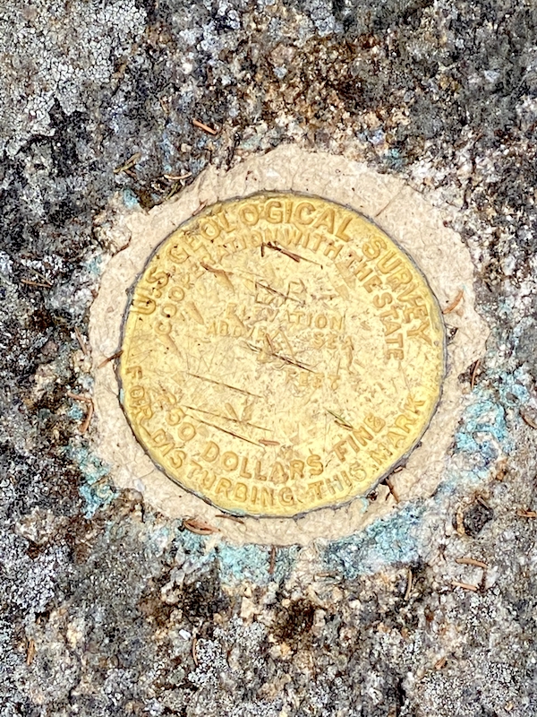
Lovewell Mountain Summit
Coming down the other side I was happy with the time I was making. It was a remote and quiet hike and quite steep on the descent.
After about 45 minutes, I stepped to the side for a family heading up the mountain. We chatted for a bit since they were curious about my thru-hike. They were so surprised that I was planning to hike all the way to Mount Sunapee that day. They emphasized their astonishment to such a degree that I started questioning myself as I walked away!
Pillsbury State Park
Heading into Pillsbury State Park, you get a real sense of remoteness through this section of the trail. In fact, aside from that initial road walk to start the day, the remainder of day 3 was spent on legit trails in the forest.
The hike up Kittredge Hill had a decent elevation gain but did not require as much energy as Lovewell Mountain.
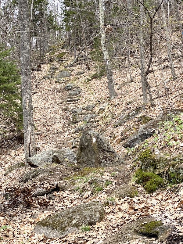
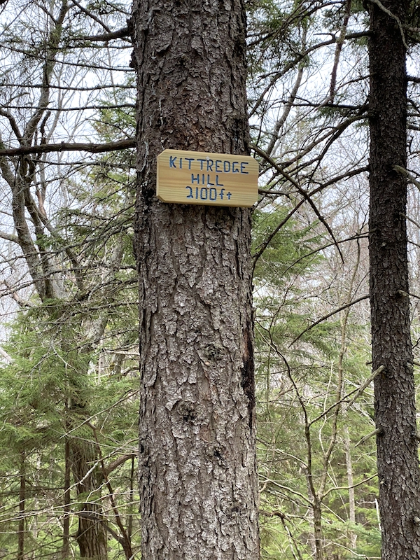
Kittredge Hill, Monadnock Sunapee Greenway Trail
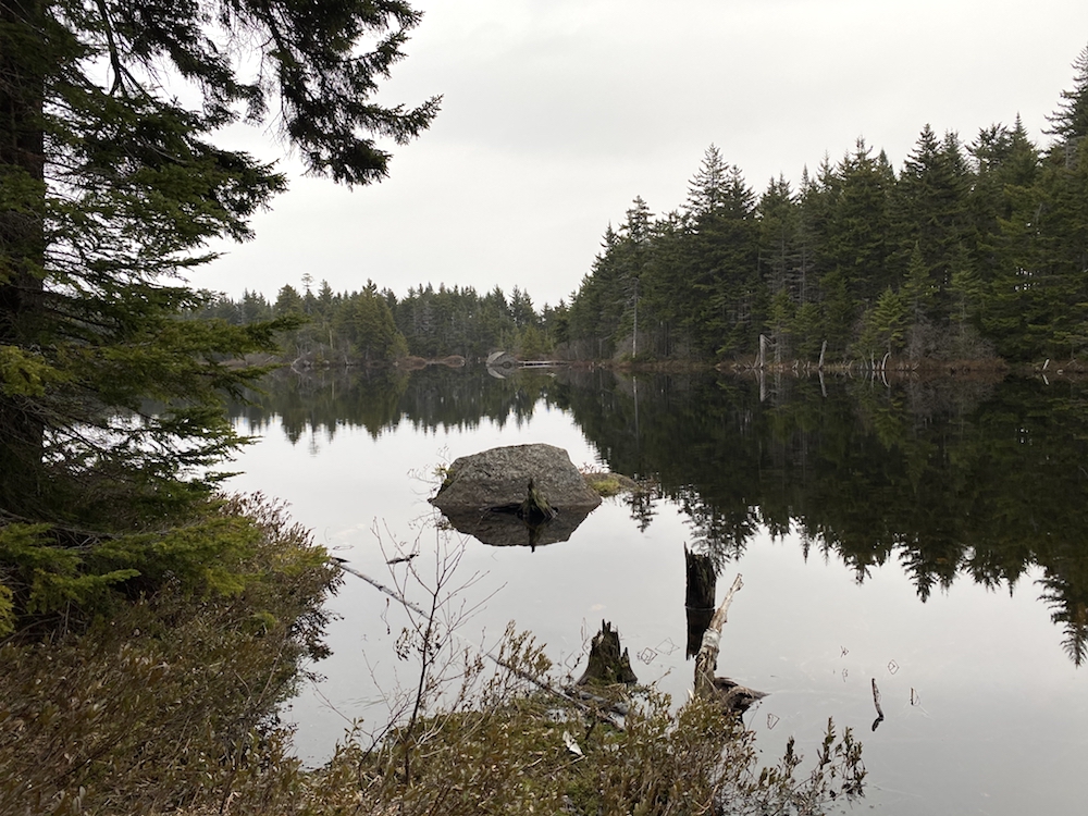
Coming off the top of Kittredge Hill, you begin the approach to the Pillsbury Sunapee Corridor. This area of the trail was expansive and full of large boulders. It was at this stretch I reached the 10-mile mark of the day. It’s also where I started to feel mentally fatigued.
Pushing On To Lucia’s Lookout
For anyone reading this familiar with backpacking long miles for multiple days, you know the feeling. It’s like an internal conflict between determination to keep going and fear you may not make it to the end. It was also at this point of the day the rain started.
My ride was planning to arrive at Mount Sunapee at 7 pm, and at this point, I had 4 hours to finish the hike or 4 hours to go 8 miles. I ate a protein bar put the rain guard on my pack, and off I went toward the finish line.
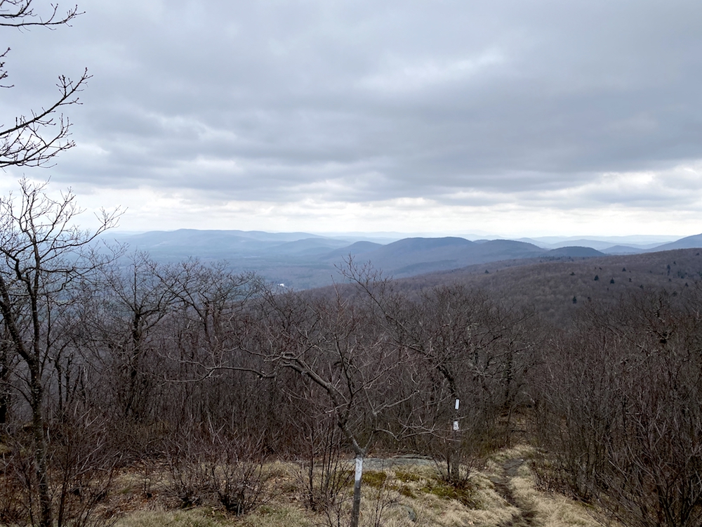
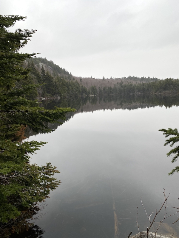
The corridor was actually a ridge-line; you can make that out from the picture above, but not an exposed one, so no views. The trail softens nicely as you start the approach to Lucia’s Lookout.
Trail conditions, Monadnock Sunapee Greenway Trail
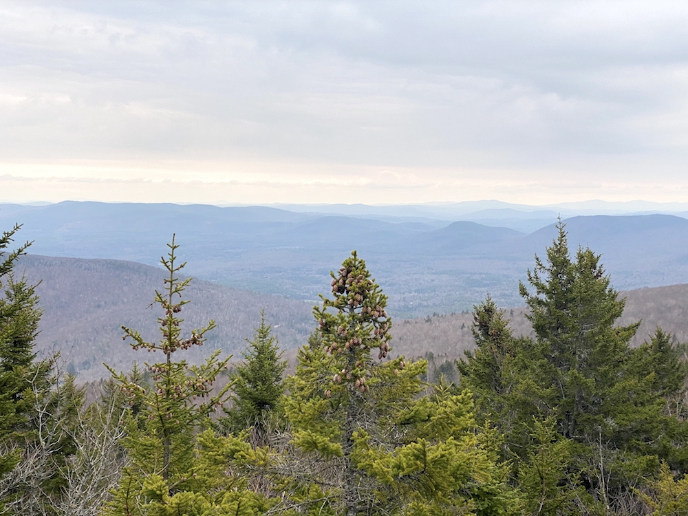
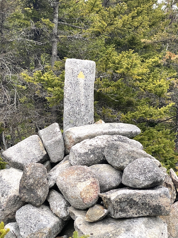
Charging toward Lucia’s Lookout, the ascent was short and aggressive. At 2,500 ft, you get up above many trees and get some of the better views on the entire hike, at least on this final stretch of it.
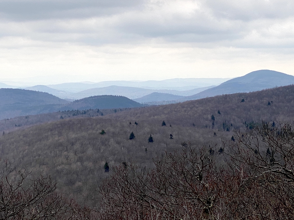
Lucia’s Lookout, Monadnock Sunapee Greenway Trail
Lucia’s Lookout to Mount Sunapee
At the top of Lucia’s Lookout, I started to feel the stress and pressure to finish lift some. This translated into picking up my pace and made it easier to ignore the feet pain and heavy pack. Coming down off Lucia’s Lookout was relatively steep but not too bad. The trail brings you through the wide-open forest on both sides and some scrambles over boulders.
4.2 miles to the end of the Monadnock Sunapee Greenway trail
I didn’t realize it at the time, but only later thought that the ascent up Mount Sunapee starts not far from the summit of Lucia’s Lookout. I say this because this last section of the trail is along a ridge-line AND the fact that when finally on the trail up Sunapee, there was not much elevation gain at all. More on this below.
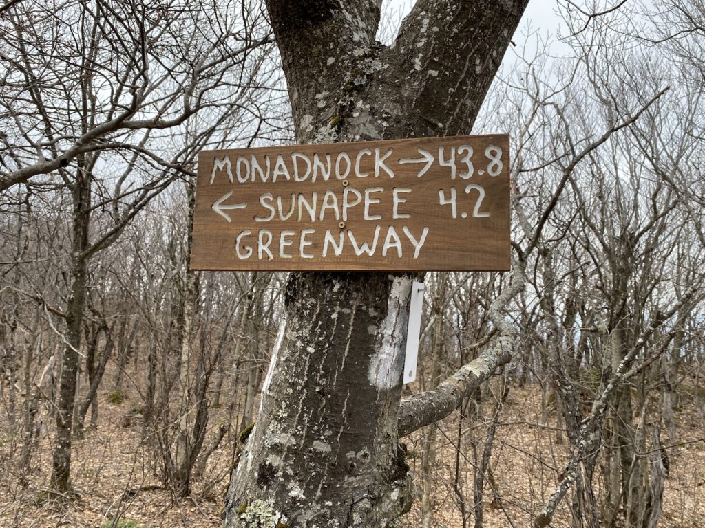
Between Lucia’s Lookout and Mount Sunapee, I came upon Lake Solitude, which was a stunning view for me because I had forgotten about this highlight on the trail in my haste to finish the day before dark.
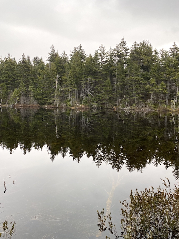
Lake Solitude, Newbury, New Hampshire
The trail along the edge of the lake is interesting, right along a sheer cliff on the opposite of the lake. Smooth walking through this area with only some exposed roots and your typical rocks to negotiate.
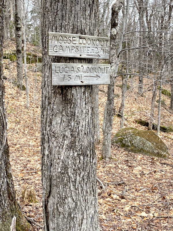
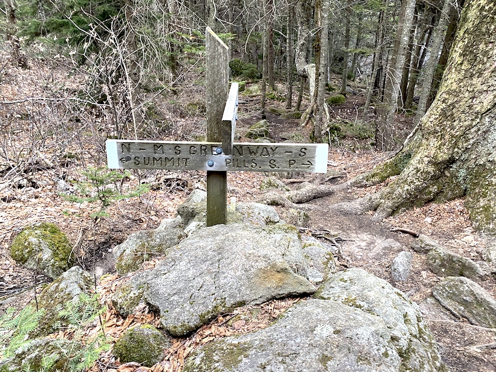
Just past the lake you come upon this cool sign.
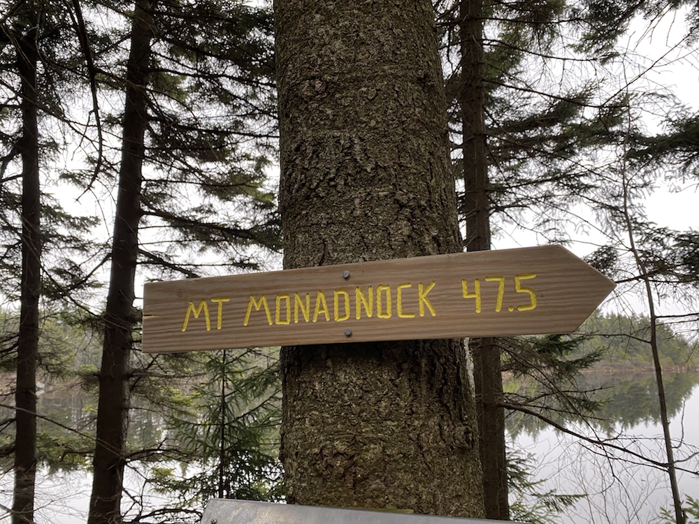
The Push to The End
A short distance from this sign, I finally came upon the intersection which held the promise to deliver me to the summit of Mount Sunapee and the end of the trek.
Hiking up Sunapee was strange for me. I kept expecting the big push to the summit, but it never came. There were some steep parts, no doubt, but they were short-lived and then leveled off quickly. As I mentioned above, I hadn’t thought that I was already something like 1,500 ft or so from sea level after hiking up Lucia’s Lookout earlier.
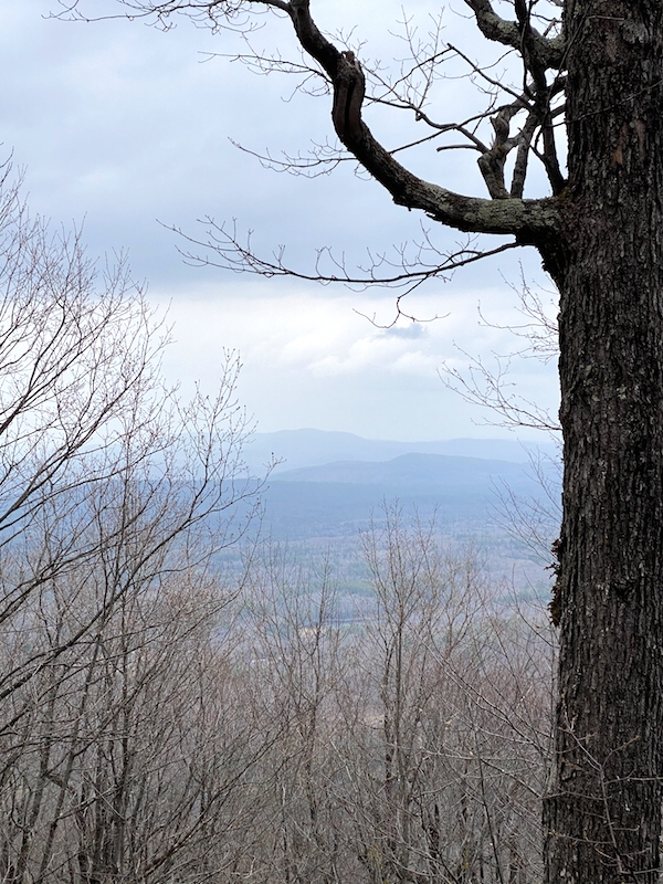
Some nice views opened up about 30 or so minutes into this section of the hike.
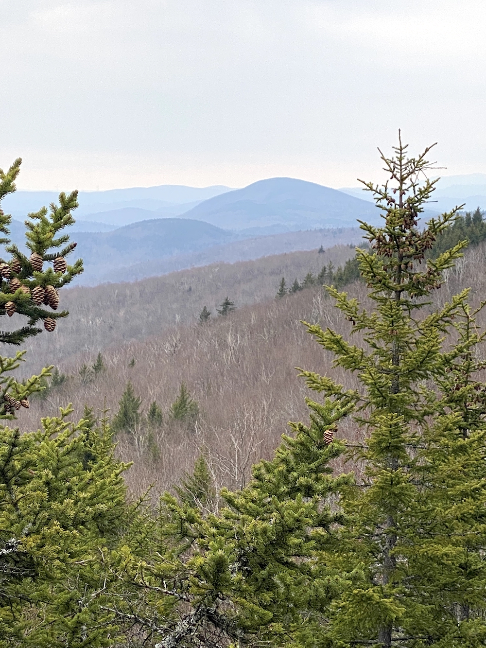
View from Mount Sunapee
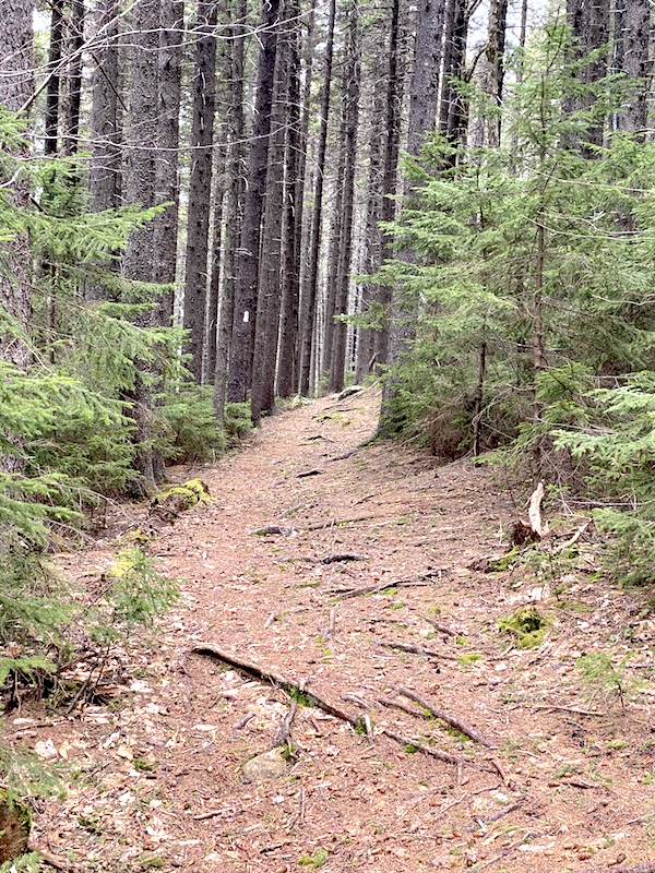
The hike from the view above is memorable because it’s alone a very large boulder for a while which was unique to just this part of the hike. The forest in this section was lush with single track trails, abundant water, and even some snow fields.
There was even some cool history to be had traversing up Mount Sunapee.
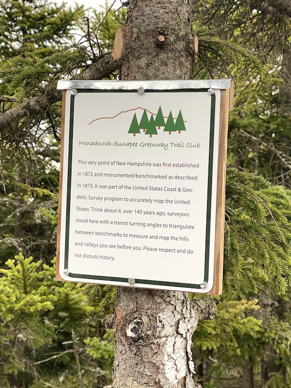
Mount Sunapee history – Monadnock Sunapee Greenway trail
Pushing on from this spot, I had about 1-2 miles ahead of me. The trail became very muddy from the melting snow and the fact it was raining. It was tempting to walk off the trail to avoid the mud ruts, but I resisted.
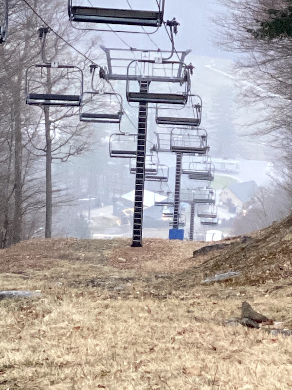
Like mentioned a couple of times earlier, there was no ‘final push’ to the top of Sunapee, it happened subtly, and then all of a sudden, BOOM, I saw huge snowbanks and a chairlift. SUNAPEE.
Not a Satisfying Finish to The MSG Trail
Perhaps the most frustrating and disappointing aspect of this trail (aside from the road walking) is that there is no sign marking the end of the trek; in fact, there’s just nothing at all. You see one more white blaze, and then that’s it; you are left to handle yourself from there. Lame.
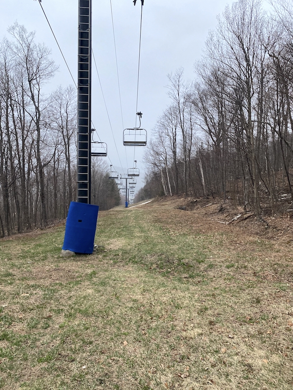
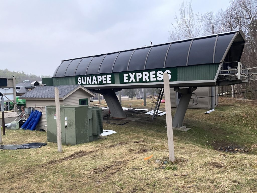
Also, at this time (7 pm), the rain picked up to a steady drizzle and contributed to darkening the sky more. I was hit with excitement, confusion, and some panic all at once. After wandering around at the top of the mountain, I decided to walk down the Sunapee Express Quad.
It’s hard to determine if this decision was the best one or not. I know there is a trail off the top of the mountain called summit trail, but at the time, it was not clear to me if that was a hiking trail or a ski trail. It also meanders around the perimeter of the mountain instead of directly down.
Walking own Mount Sunapee
Wrapping it up
For anyone reading this that has hiked down a ski slope, you know how brutal on the knees it can be. I created my own switchbacks to reduce the pressure on my legs but soon abandoned this because it took me too long to get down.
After the mud, deep snow, and wet grass of the descent from Mount Sunapee, I finally made it down to the base of the mountain. It took me 30-40 minutes from the top.
Reaching the car, I was unsure if I wanted to scream with accomplishment, cry from releasing the stress of the day, or laugh like a crazy guy. Instead, I talked about my cravings for junk food and hopped in the car. The ride back to Mount Monadnock was super relaxing and safe.
This trek is a great one. Sure, I have my complaints, but overall it’s a well-marked trail, and the shelters are very impressively maintained. I am grateful to those who maintain the trail and to all the private landowners who allow the trail to pass over their property.
I recommend this trek to anyone, but especially those who are just entering the world of backpacking. It offers many challenging sections to test one’s ability, both physical and mental.
Day 3
Thru-Hiking Monadnock Sunapee Greenway Recap
Started from: General Washington Shelter
Destination: Mount Sunapee
Start time: 5:45 am
Total elevation gain: 3,186 ft
Total mileage: 18.1
Total hike time: 13:22
Be Sure to Read The Daily Trek Summaries
Day 1 | Day 2 | Day 3


