A recap of day 1 of 3 thru-hiking Monadnock Sunapee Greenway
Leading up to this hike, I felt prepared physically but wasn’t too certain how I would respond mentally. Waking at 5:00 am and on the road at 5:30 am, I had a one-hour and 20-minute drive to Mount Monadnock State Park, where I planned to park my Jeep for a few days.
The Monadnock Sunapee Greenway trail doesn’t technically start until you reach the Dublin Trail found at the summit of Mt. Monadnock. I have a few complaints about this thru-hike which I’ll mention along the way as I recap the experience, and this is one of them. The fact the trail starts and ends at the summits of mountains is strange since people need to hike up and down from those points; the mileage and effort should count officially toward the effort. There is an explanation about this decision here at the Trail Clubs’ site.
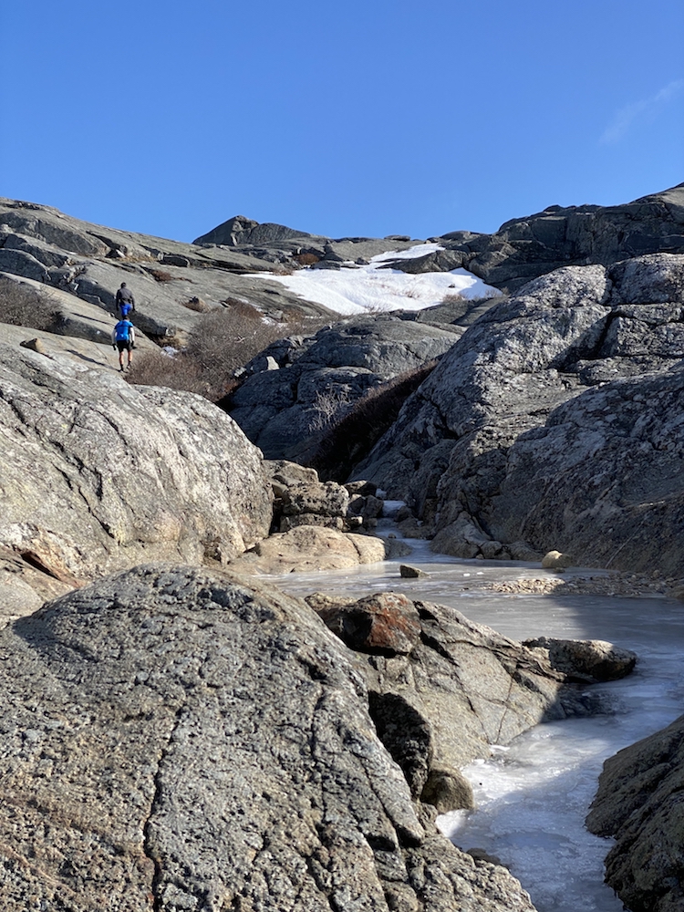
The initial ascent of Monadnock was fine. The morning air was crisp, and the trail conditions were fine enough. I have hiked this mountain many times, including my most recent winter hike. The trail was free of snow, but there were many pockets of solid ice, as well as areas of running water.
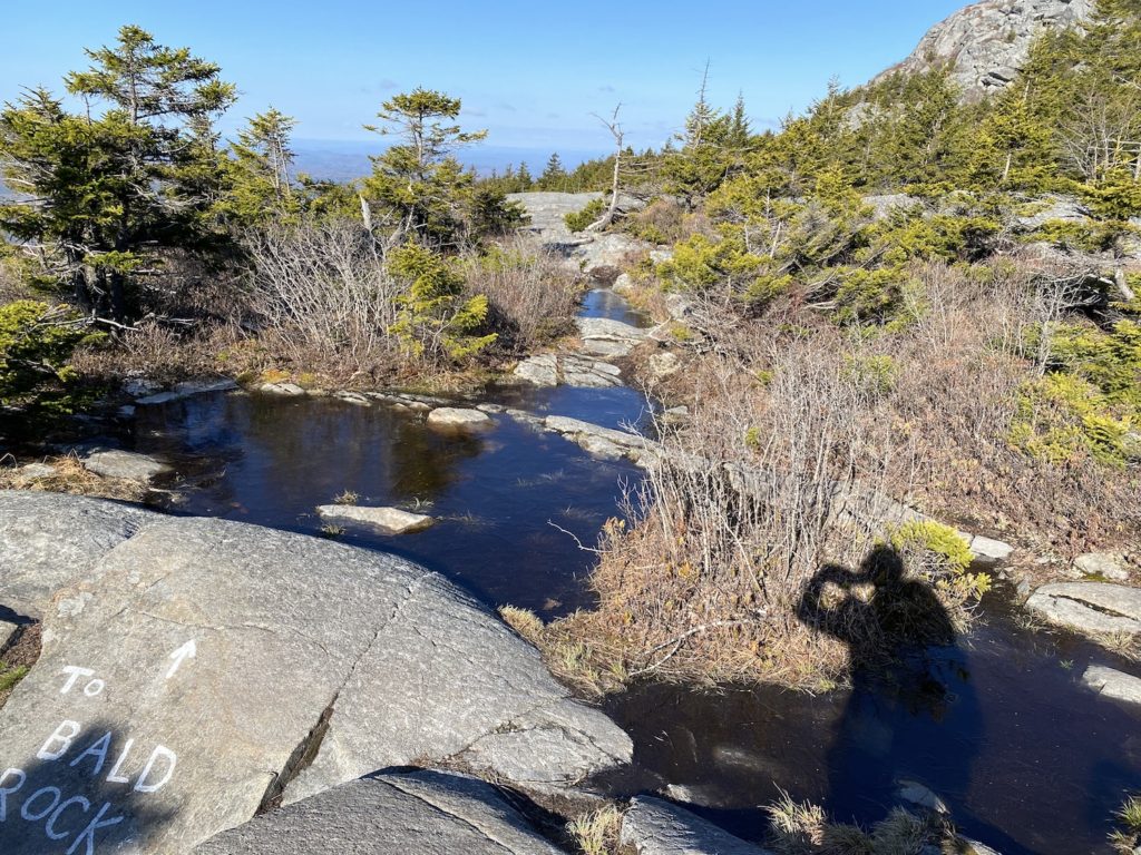
As I mentioned in the overall summary of this 3-day trek, this was my first backpacking experience. I had a real concern about pack weight so getting up and over Monadnock was the first test of this excursion. About halfway up, I was confident my body would handle the load just fine.
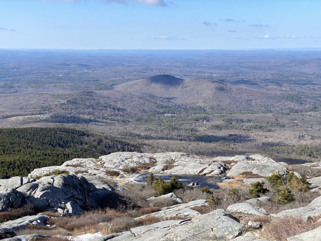
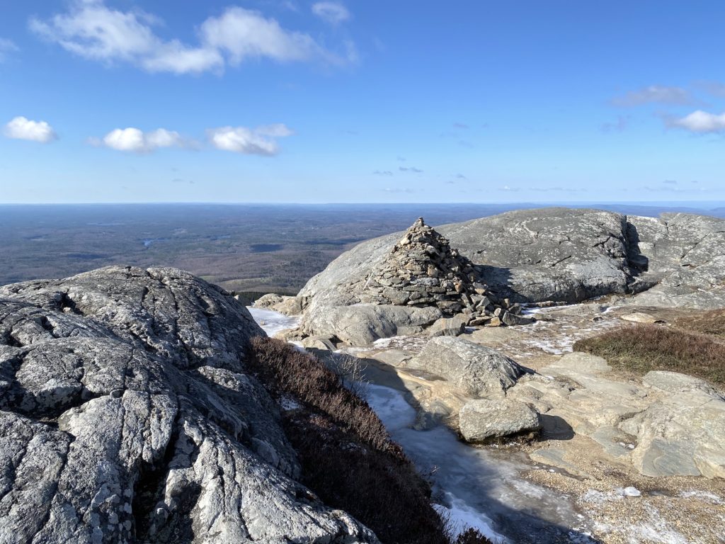
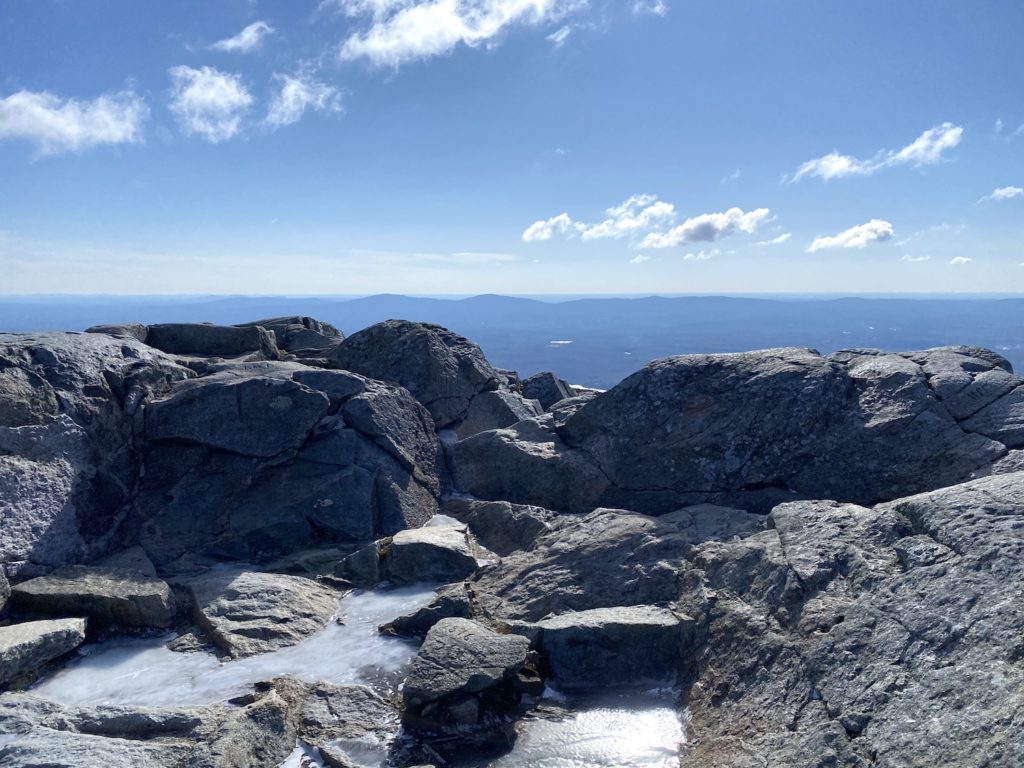
The top of Monadnock was the windiest I have ever experienced. It was absolutely brutal to the point I took shelter between some rocks before trail scouting for the Dublin trail.
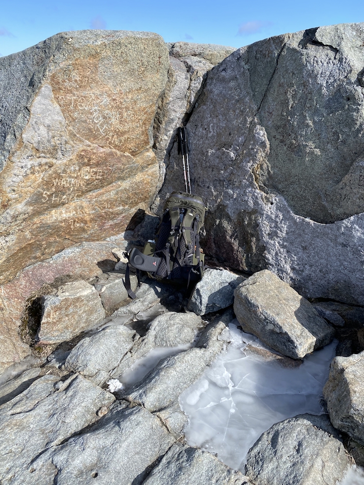
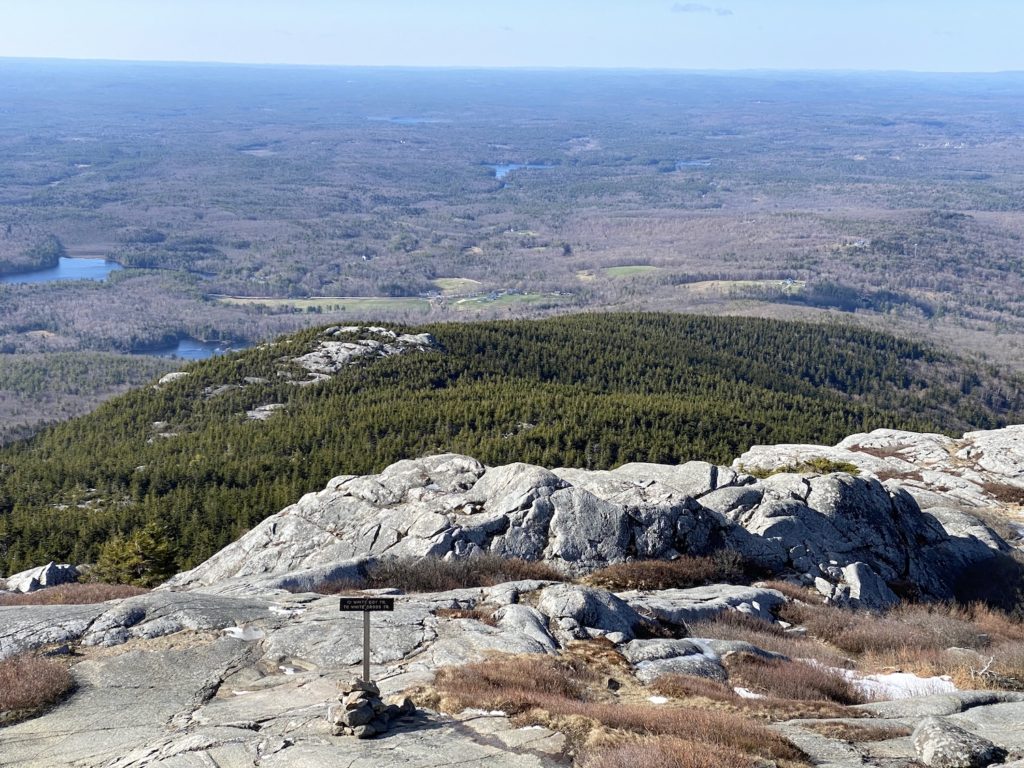
Mount Monadnock Summit Gallery – Monadnock Thru-hiking Sunapee Greenway Trail
In my mind, getting to the top of Monadnock was just something that needed to be done to start the 3-day thru-hiking Monadnock Sunapee Greenway journey. I wish the weather were more cooperative because it was basically just me and the summit by the time I got there. There were a few other hikers ahead of me, but they didn’t stay long due to the wind.
I knew the Dublin trail ran off the backside of the mountain but I didn’t know exactly where to pick up the trailhead. The wind was whipping so hard that the straps from my pack were cutting into my face.
I did finally spot the trailhead and was relieved. It’s painted on a rock.
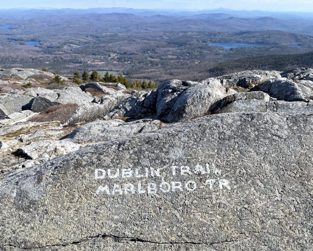
The descent from the summit was a lot icier than the ascent. There were many areas of hard-packed ice that I needed to navigate around. As I was doing so, the thought hit me that this was the first time I had hiked up and over a mountain. A pretty cool feeling since I typically hike out and backs or loops. At this point, I was heading into the forest for 3 days really started to settle in.
I was on a good pace heading off the mountain. My original goal was to summit by 9 am and be off in that same hour. Due to the quick rest at the top, I was halfway down the other side by 9 am and feeling really good about my timing. From the start of the Dublin trail, there were about 18 miles of hiking ahead of me before I reached the camping lean-to/shelter for the night.
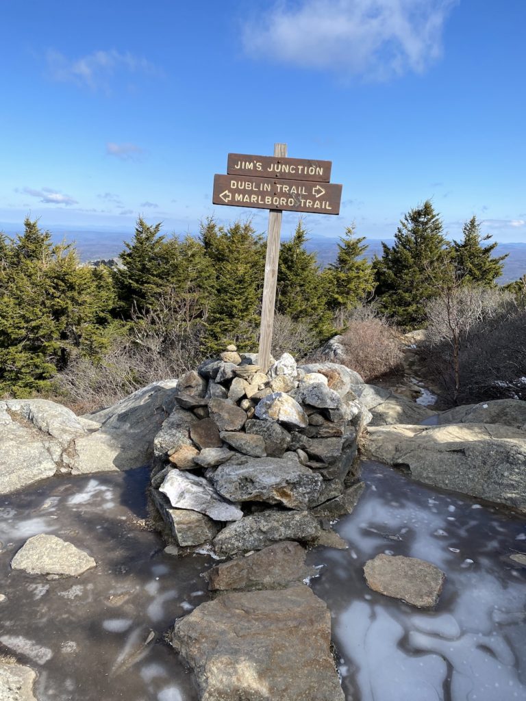
Solo Hiking and Isolation
Prepping for this hike, I read many bloggers writing about how their experience was one of isolation and solitude. The Monadnock Sunapee Greenway is still a relatively hidden gem of a thru-hike, after all. I was looking forward to being solo for 3 days but wasn’t sure how I would feel about that after time. I didn’t need to wait long to learn if I was in for an isolation trek in the woods for days. About an hour into the descent from the top of Monadnock, I came upon a couple hiking up. They mentioned passing another thru-hiker earlier that morning and that he was about 45 minutes ahead of me. Learning this filled me with mixed emotions. They also mentioned they he was hiking it in 4 days, not 3 like me. As I hiked, I tried to piece together the camping plan for hiking this trail in 4 days. I figured he was either staying at the first shelter, which means I would pass him en route to the next one as part of my plan, or we were staying that the same shelter that night.
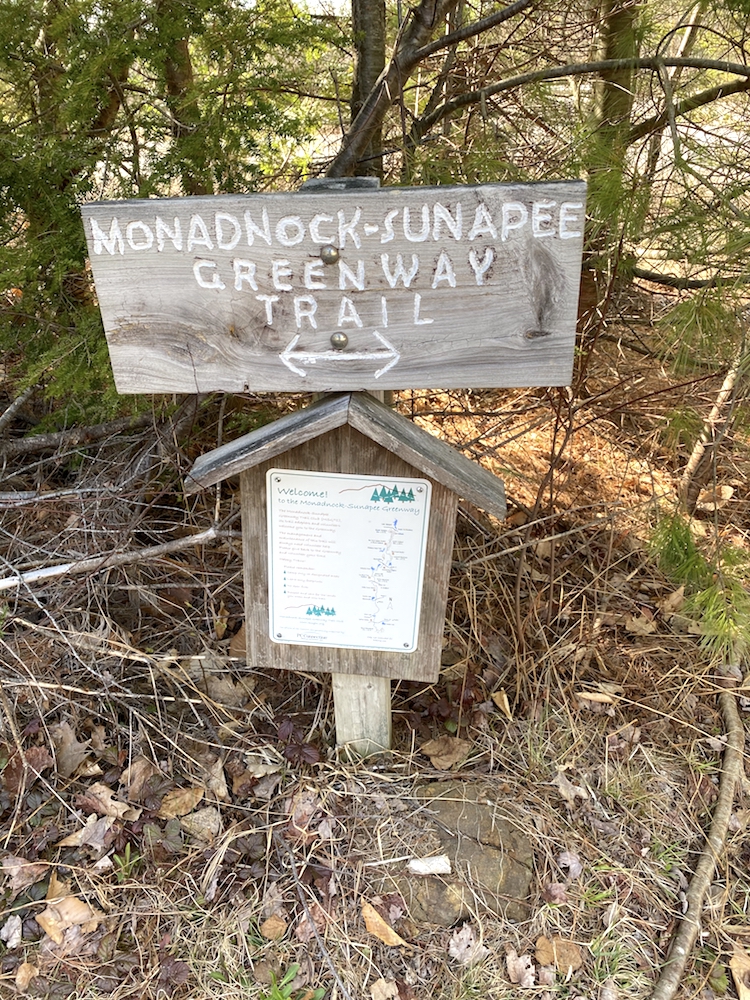
About 2 miles from Monadnock’s summit, I reached the official trailhead for the Monadnock Sunapee Trail.
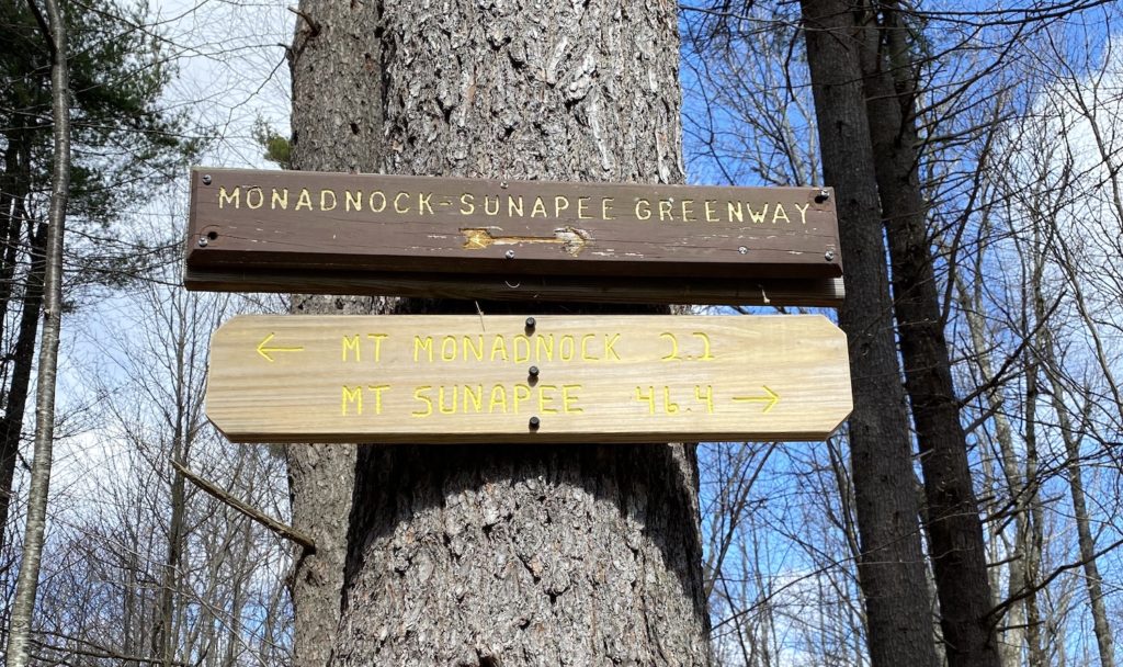
From this point I was expecting the rest of the day to be mild in terms of elevation gain. I knew there was going to be a fair amount of road walking and so I was concerned about that because I have a tendency to form blisters from the repetitiveness of walking on flat surfaces for long distances.
The Harsh Reality of Road Walking
The first 2 days of the MSG, you will find yourself walking on roads a lot. In fact, the start of day 3 is on a dirt road through Washington, NH. There were 3 types of roads experienced on this hike:
- Gravel fire roads
- Countryside dirt roads
- Paved/asphalt roads
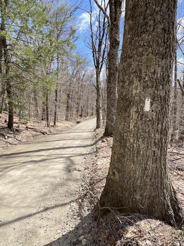
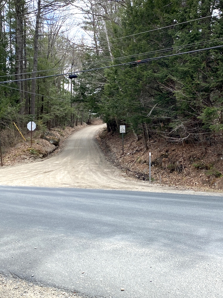
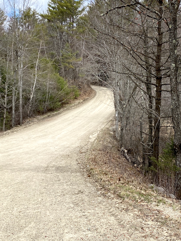
I listed the road types in order of easiest to hardest. The fire roads were totally fine and felt the most like hiking grade, some were really flat, and others had intense hills. However, the majority of the road walking was the second type, countryside dirt roads. For MILES and MILES in some sections and it was brutal. Luckily the paved roads were minimal, and I never had trouble walking in the dirt shoulder to avoid the intense impact to my knees walking on that hard surface.
Road walking Monadnock Sunapee Greenway is an unfortunate reality
After walking on roads for a while on day 1 I found myself back in the woods and was relieved to have new scenery to look at and some cushion under my feet from the forest floor. For anyone reading this that has hiked long distance, you know that any relief you can get under foot is a welcomed thing.
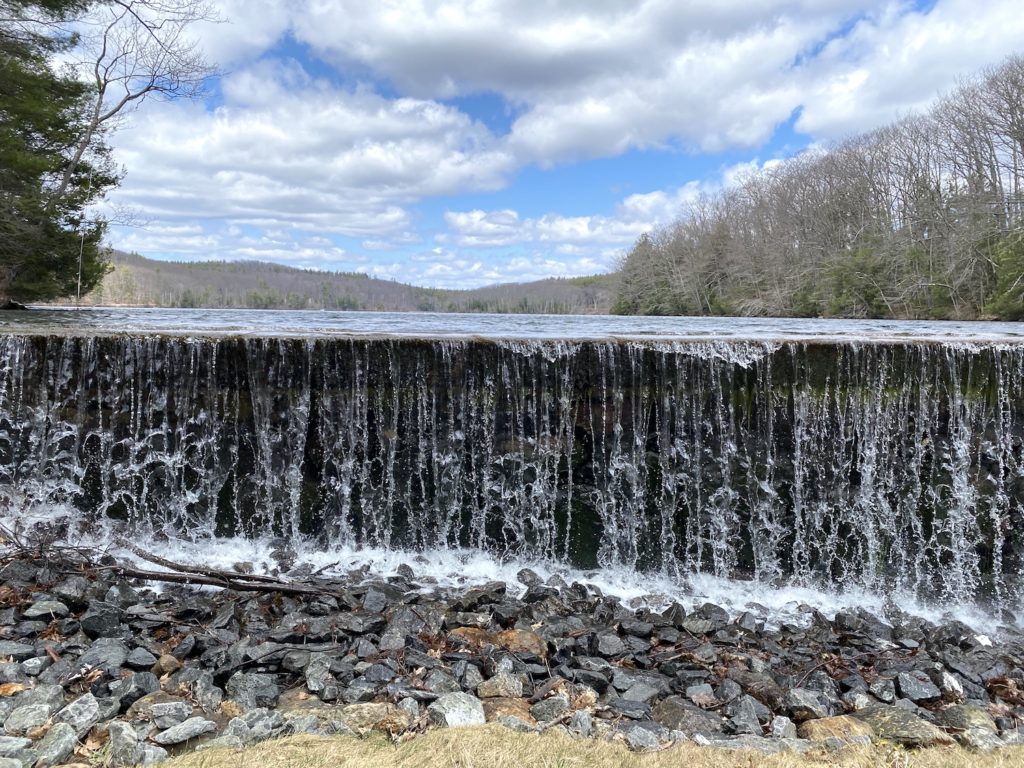
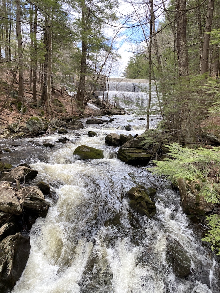
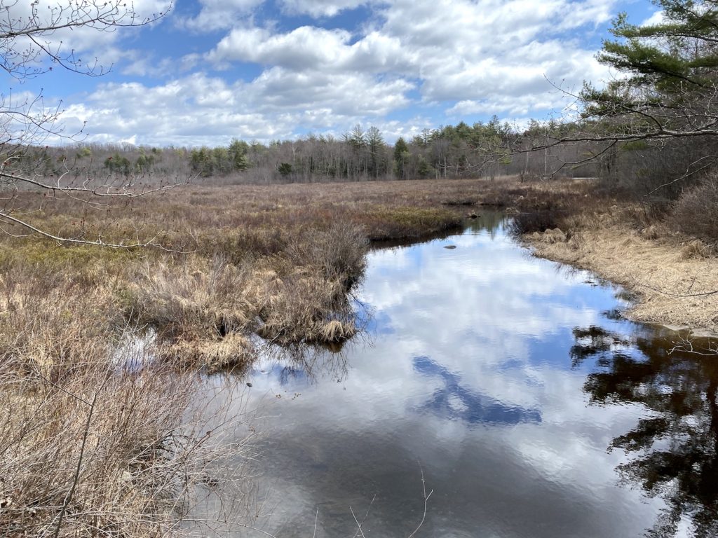
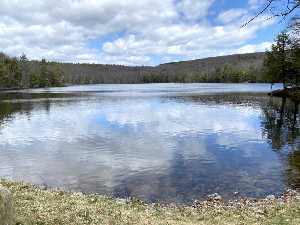
Finding water on the Monadnock Sunapee Greenway thru-hike was not an issue at all. There was so much of it all 3 days. Granted, I was hiking this trail in April and had the benefit of spring melt, but even without that, there are plenty of large bodies of water that would be there regardless of the season.
Thru-hiking Monadnock Sunapee Greenway – Water Sources
The MSG organizers are adamant about filtering all water sources before drinking
Finishing Day 1 of MSG Thru-Hike Strong
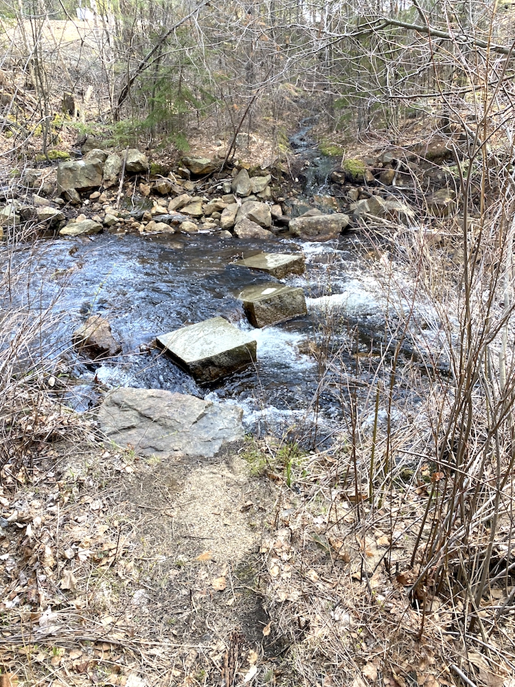
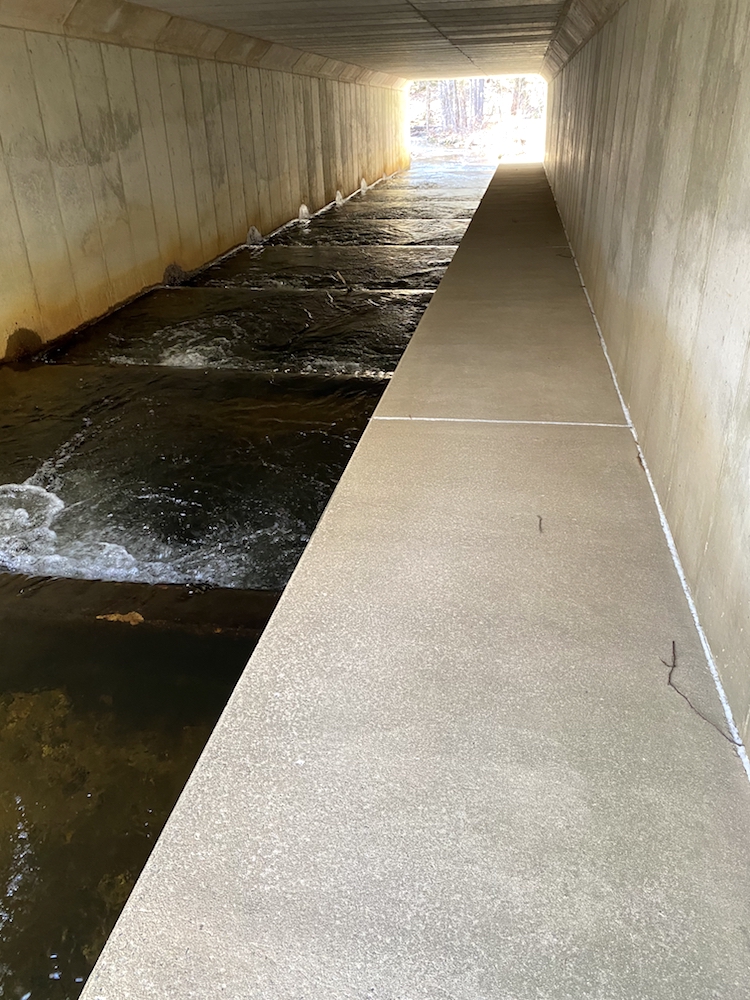
Crossing Route 9 in Stoddard was an interesting and unexpected technical challenge. Since Route 9 is a busy road with cars traveling at high speed, the trail dips down under the road and through a tunnel. However, getting over the river was tricky due to high water and precariously placed stones. It may not seem like much in the pics; the rocks were wet, and the water was moving at a fast clip. The photo is from the other side from where I started, so the rock on the far side is the first one, and it’s pretty spread from the second one. It was a good challenge!
Getting under route 9
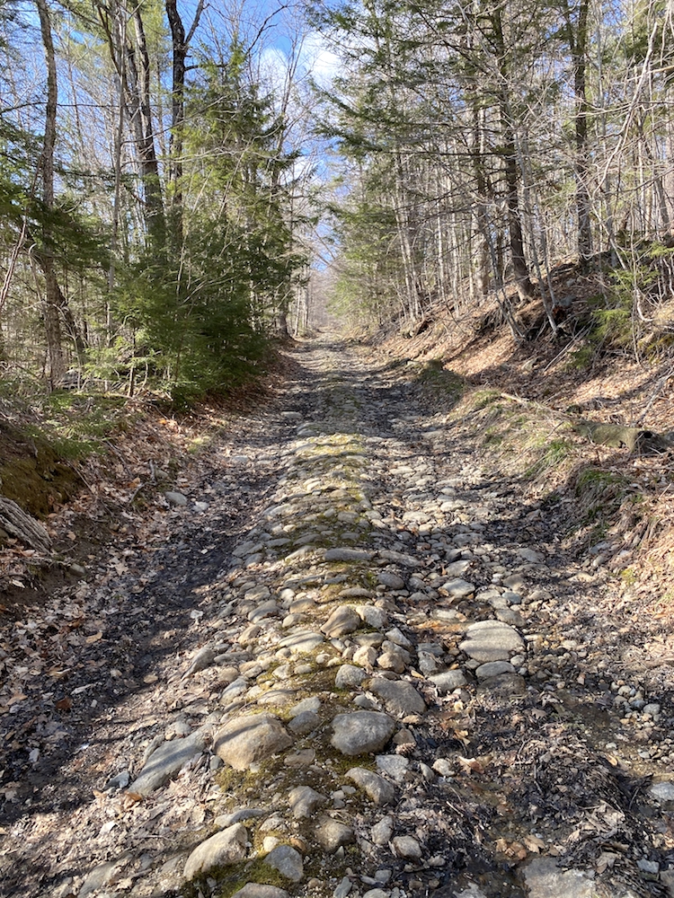
It could be that by the end of each day, I was tired and nursing some ailment, whether that be a hot spot on my foot, hunger, or just mental fatigue, or the days indeed finish hard. The final 3-4 miles of the first day were just a grind…not on a trail, but on a super rocky fire road that seemed never to end. Looking back on it now, writing this about a week after the hike, I would put this final leg of day 1 in the top 5 hardest sections of the overall thru-hike.
Final stretch on day 1
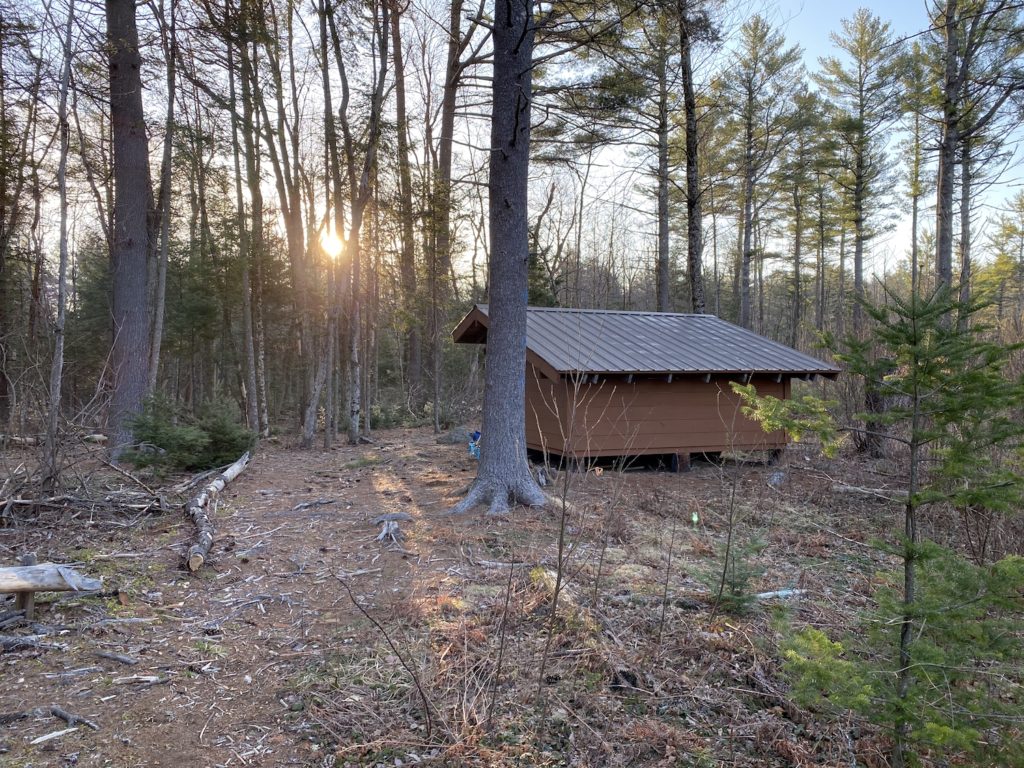
If you are reading this in prep for thru-hiking Monadnock Sunapee Greenway trail, I’m sure you’ve read other blogs about the fact this trail has a series of shelters spread out on private land throughout the hike. On that first day, the shelter I was marching toward is Crider Shelter, which is the second on the trail when hiking South to North and 18.4 miles from the top of Mount Monadnock.
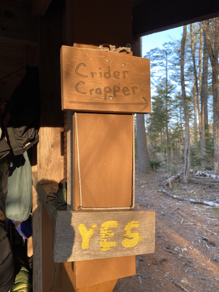
The Crider Shelter is located in the Crider Family Forest; it’s about .4 miles from the MSG trail, and after a long day of hiking, this marker was a very welcomed sight.
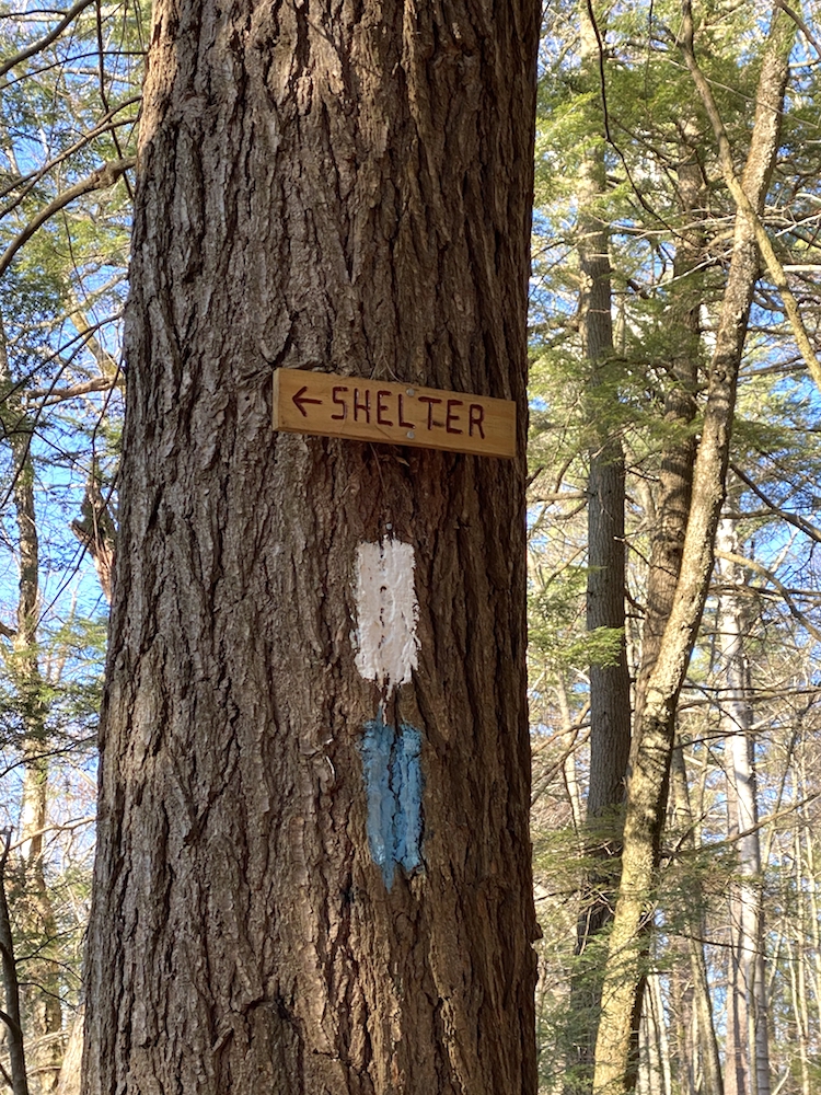
Arriving at the shelter, I discovered that I was the final one to make it there for the day, and there were 3 others there already—one other solo hiker from Brighton, MA, and an older couple from Manchester, NH.
Each shelter is a 3-sided lean-to style, with the exception of one lone platform style that is located 6.8 miles from Crider, and each has a nearby water source and a toilet of some kind.
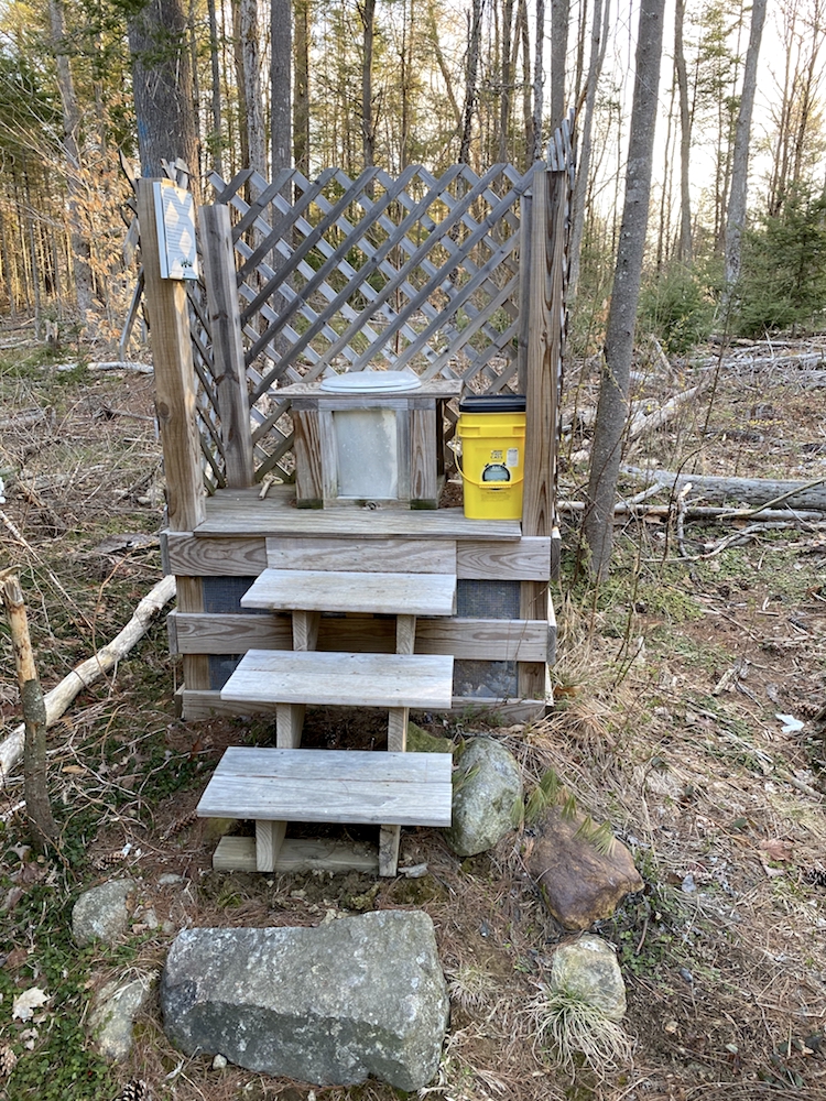
The Crider shelter has a composting-style outhouse which is about 100 yards from the camping area. I must say, it’s very much a throne in the woods.
Thu-hiking Monadnock Sunapee Greenway Day 1 Summary
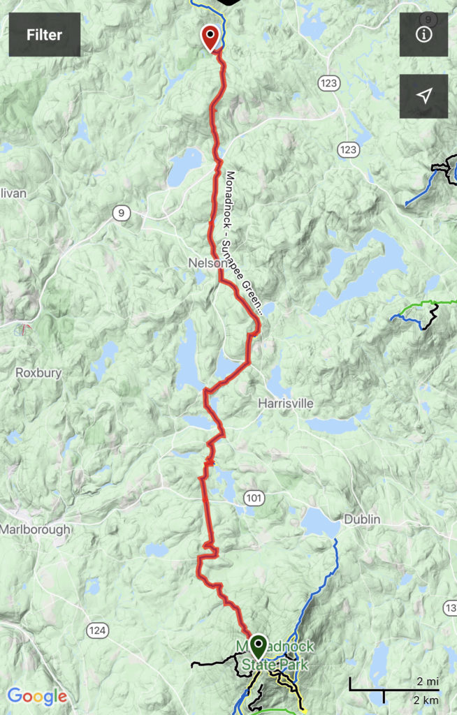
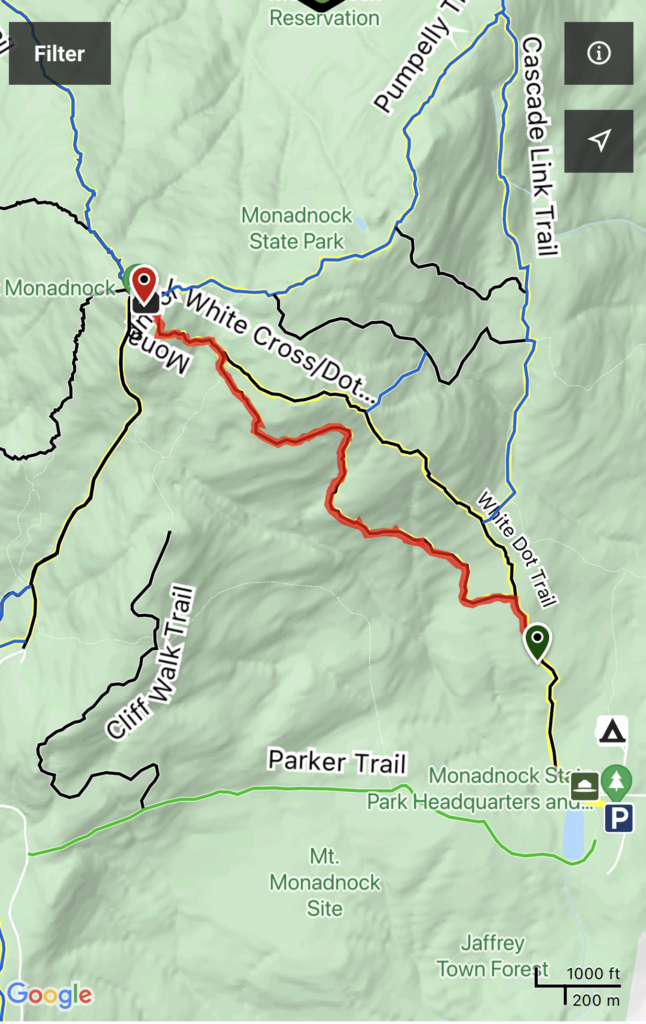
Started from: Mount Monadnock State Park
Destination: Crider Forest Shelter
Start time: 7:15 am
Total elevation gain: 3,379 ft
Total mileage: 20.6
Total hike time: 10:23


