A recap of day 2 of 3 thru-hiking Monadnock Sunapee Greenway.
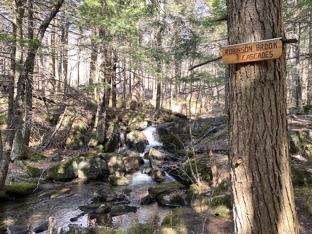
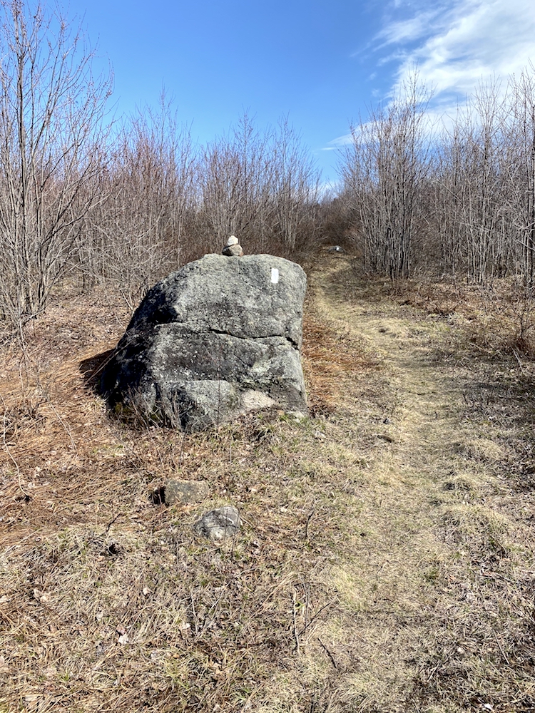
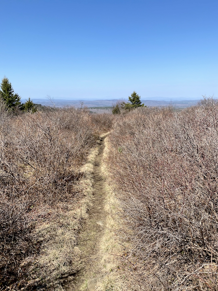
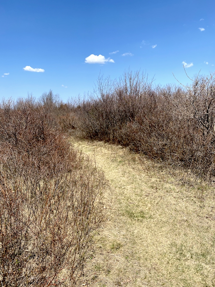
Day 2 Hiking Monadnock Sunapee Greenway was my favorite of the 3. There was still a bunch of road walking to be had but less than day 1. The trails offered great variety, from green forest single track through the Robinson Brook Cascades to the blueberry field single track near Jackson Hill (2,047 ft).
The started from Crider Shelter, which I mentioned being the stopping point after the 20-mile hike on day 1 of this backpacking trip. I got a later start (8:00 am) because the day, at least on paper, was a shorter one at about 15 miles. The part that makes this a tricky section is that there are many summits between Crider Shelter and General Washington Shelter, the destination for day 2.
Hills & Mountains To Summit
Parker Hill, 1,820 feet
Pitcher Mountain, 2,153 feet
Hubbard Hill, 1,846 feet
Jackson Hill, 2,061 feet
Oak Hill, 1,950
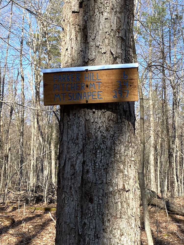
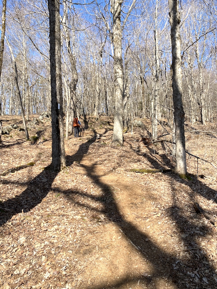
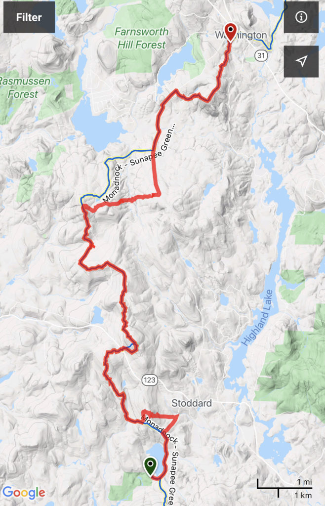
After a 2-mile road walk, the trail dips into the forest and a new section of the trail. This section brings you briskly up Parker Hill. This section of the trail could technically be avoided if you felt sore or not up to the challenge for some reason. From the trail recording above, you can see that you end up in the same place if you continue on the road walk. This new section added just about 1.2 miles or so and 1,820 ft of elevation gain to the hike. At the turnoff for this section, I met up with the other thru-hiker (Aaron), and we synced up for a while that morning.
Parker Hill, Hiking Monadnock Sunapee Greenway
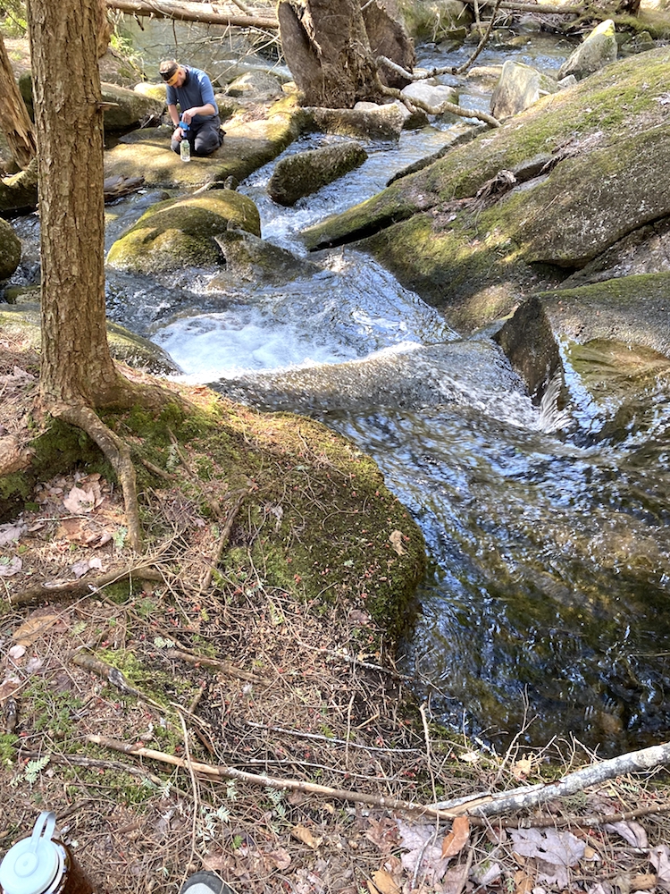
Coming back to the original trail for a short distance before coming to what ended up being my second favorite area of the hike, that’s the Robinson Brook Cascades. Due to tackling this hike in April, and from what you can see in all the pics, the foliage is bare and brown. Due to the nature of the cascades and the abundance of water, the area surrounding them was lush and green, magnified that it was really the first area we experienced some color while on the hike.
From the cascades, I focus on Pitcher Mountain, which, outside of Monadnock on day 1, is the highest point on this southern part of the trail and the highest on day 2 overall. The trail from the cascades to Pitcher Mountain is nice, single track and through open fields and nice countryside.
I was happy with the great time I was making the earlier part of this day. I found that, in general, my mornings were my strongest hiking efforts. By about 2 pm on each day, I was starting to drag some. Learning this type of stuff about myself is part of wanting to do this hike and do it in just 3 days.
The approach to Pitcher Mountain was slightly downhill, and I met a few hikers coming in the opposite direction. I always like passing people because it offers a break from the solo nature of hiking. However, by the midpoint of day 2, I started to become weary of answering all the questions people have once they see the large pack. They are genuinely interested in the thru-hike experience, though, so I found that matching their energy actually got me more pumped to continue with the journey.
Pitcher Mountain is up and across a small road from the trail. Walking up and onto the parking lot was a bit of a spectacle because a few families were gearing up the car-side for the hike up the mountain. Out from the woods comes this guy with a large pack, and maybe it was just me being self-conscious, but I felt the eyes upon me.
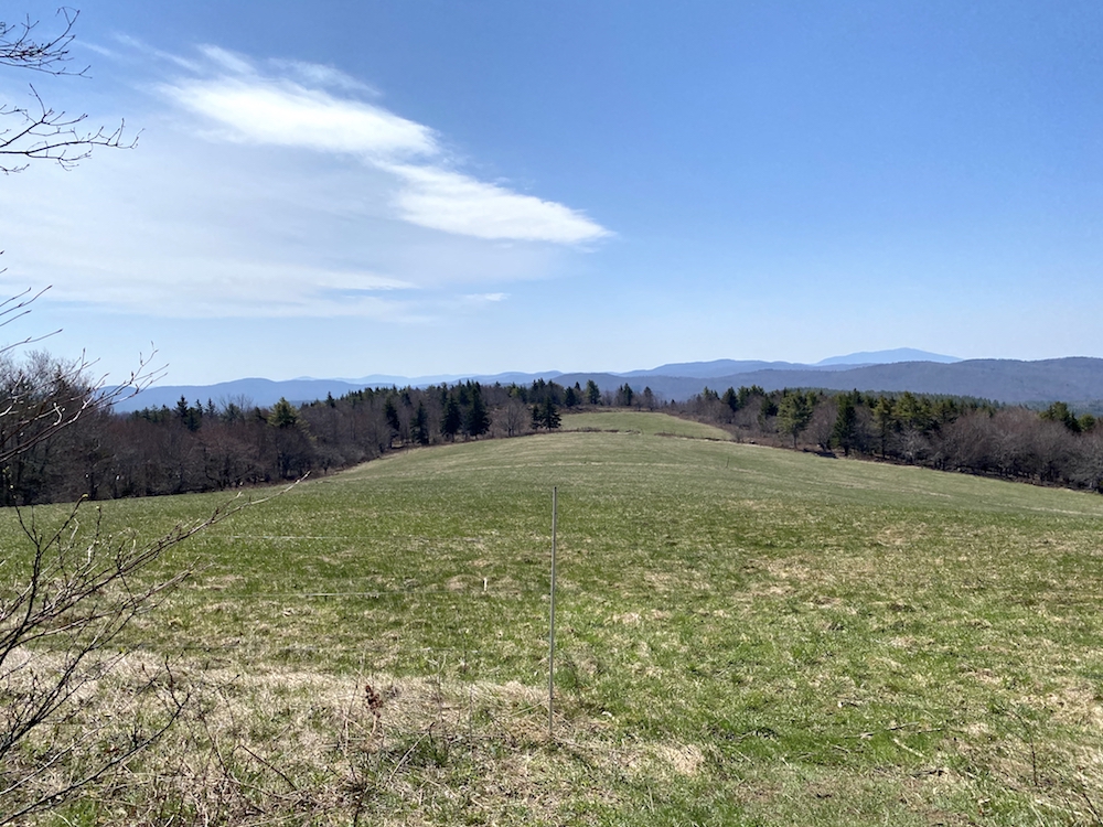
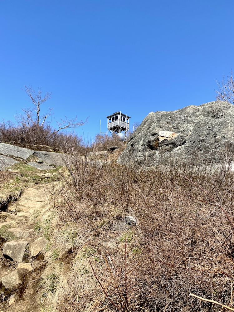
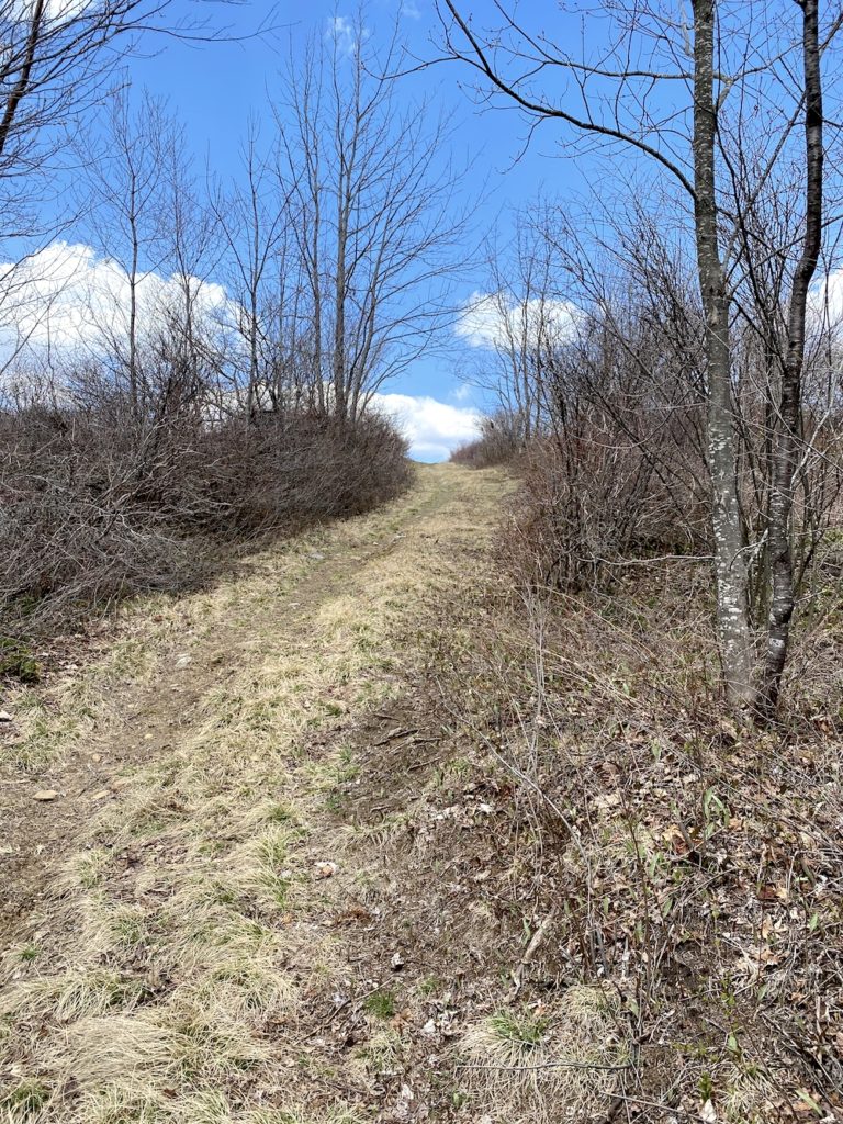
The hike up Pitcher Mountain is not hard. It’s not technically a trail, even, but a really wide rocky road. With a 4×4, one could drive 95% of the way to the top of this mountain. The last three-tenths of a mile is an actual hike up over rocks with a steep incline. The elevation gain is quick, though, so with a heavy pack, be sure to pace yourself.
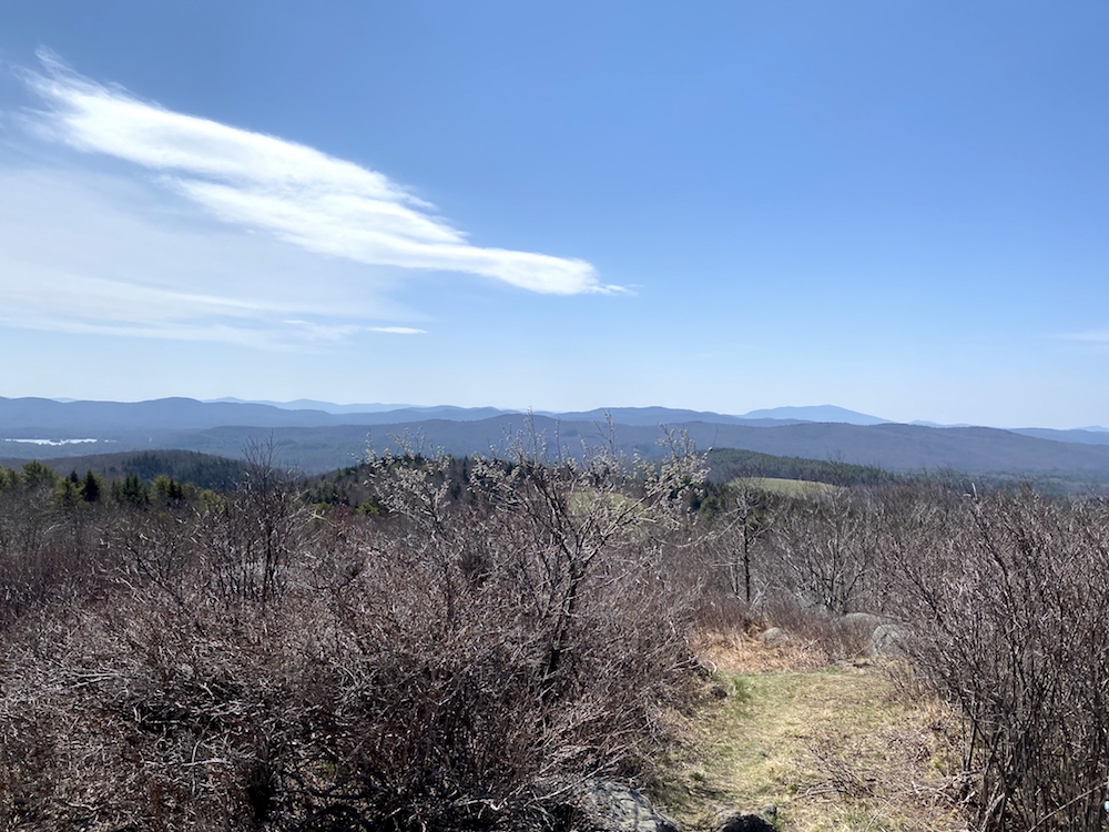
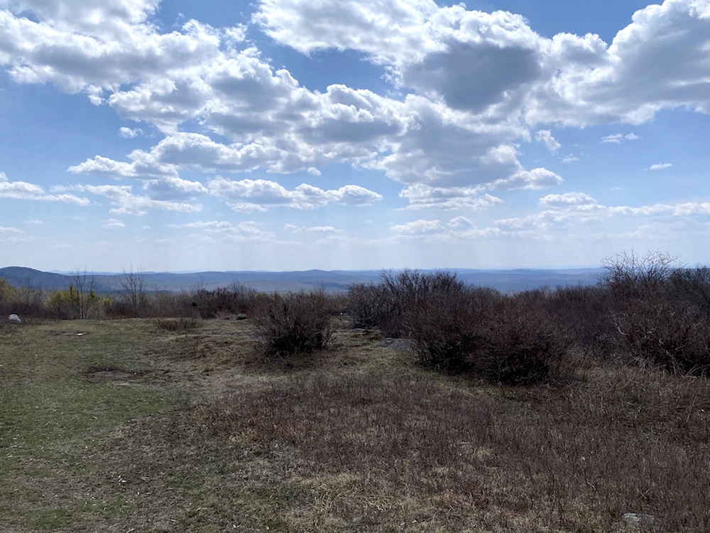
View from the summit of Pitcher Mountain
Descending Pitcher Mountain was pretty quick, and you will soon find yourself on another road walk. I don’t recall how many miles this continued, but it was probably 1-3 of them. It wasn’t a bad reprieve from the single-track trails from the first half of the day, but I did soon miss the cushion of the forest floor.
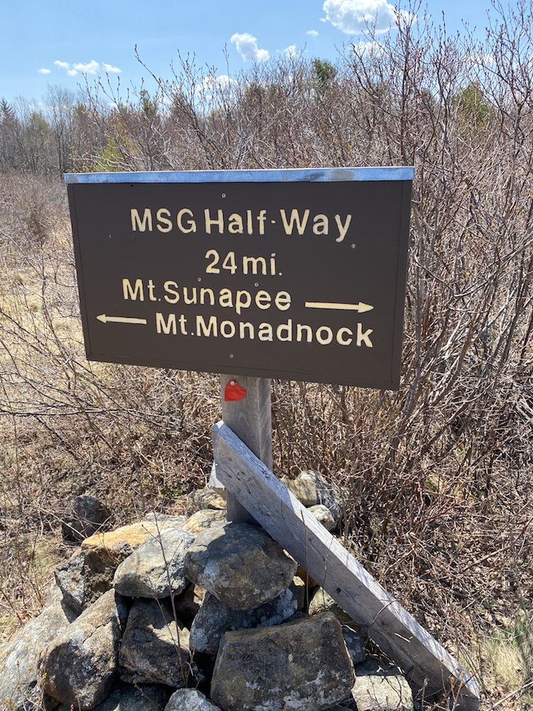
Reaching Mile 24
At about this time, I was tracked down by the couple (Art and Sarah) I mentioned meeting the night before at Crider Shelter. They are strong hikers and never short on stories to tell about their adventures traveling around the world. During this afternoon hike with them, I learned about the Great Allegheny Passage, a 150-mile bikepacking trail connecting PA with MD.
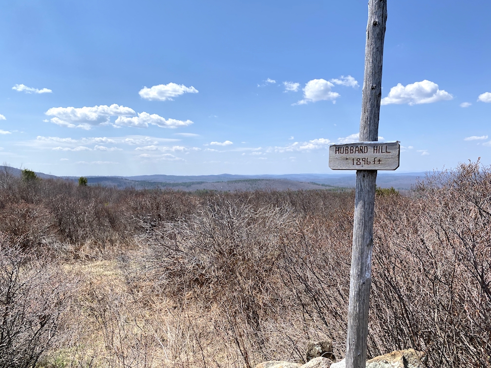
We hiked and chatted for about an hour as we summited Hubbart Hill, reached the mid-way point of the Monadnock Sunapee Greenway, and ate lunch at the platform tent site called Fox Brook Tent Platform.
The couple were not thru-hiking and were calling it a day in the town of Washington, NH. That happened to be where I was headed as well, but not the town, the camping shelter. I didn’t want to match their pace, though, so I rested a bit longer as they made their way back onto the trail.
With 3 summits behind me, there were 2 more that day. I started for Jackson Hill, feeling the strength from my granola lunch.
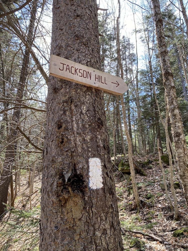
The hike between Hubbard Hill and Jackson Hill was mostly in the forest and not a bad hike at all. I was back to hiking solo and at a more comfortable pace than pre-lunch with the trail mates.
Jackson Hill – Monadnock Sunapee Greenway
Jackson Hill was technically not a difficult ascent but coming near the end of a long second day of trekking and the pack’s weight; it definitely got my heart pumping and the sweat flowing. The vibe at the top was a little strange; there were many people out enjoying the day, sunning themselves and the whole scene seemed like I had hiked into a city park or something.
I chatted with a couple of people but didn’t rest at all; I just kept going. At this point, I was close to being done with the day and was feeling fatigued. With one more summit before the final push to the shelter, that’s all I could think about at that time.
Pushing On To Oak Hill
In hindsight, I wish I had stopped for a rest at the top of Jackson Hill. The milage between Jackson and Oak Hill was so full of road walking it was ridiculous. I say that is because the reason for all the road walking is because private landowners refuse to allow the trail on their hundreds of acreage, including a church booting the trail off their land. All this made for a hell of a long road walk; it was brutal and included about 3/4 to 1 mile of trudging along the side of a paved road.
Once back on dirt, the final stretch of the hike was diverse in both trail type and scenery. The trail heads into an actively forested forest which means it feels like hiking through a tree massacre. I totally get it; we need trees for things, but this was the first time I’ve seen the destruction it leaves behind, and it makes me rethink some things in my life.
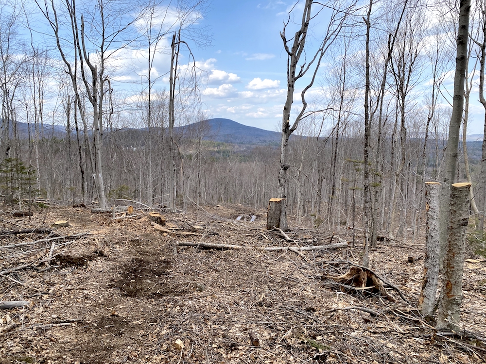
It was through this section that I was really picking up speed again. The miles of road walking takes it toll on my body and makes the pack feel like it’s double its actual weight. The initial ascent up Oak Hill was serious and felt like a real mountain hike. The views of the surrounding hills and mountains become clearer and clearer at this point, aided by the lack of trees.
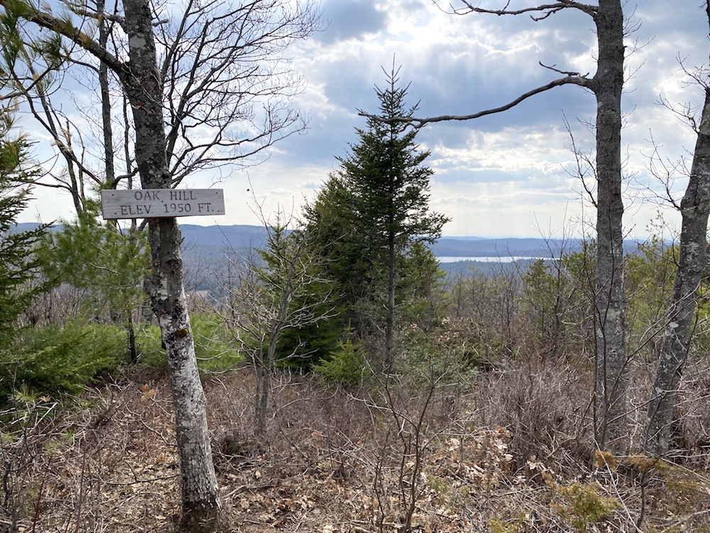
The summit of Oak Hill comes quick, and I’ve got to say, the little 1,950 ft hill kicked my ass. I rested at the top for a few minutes.
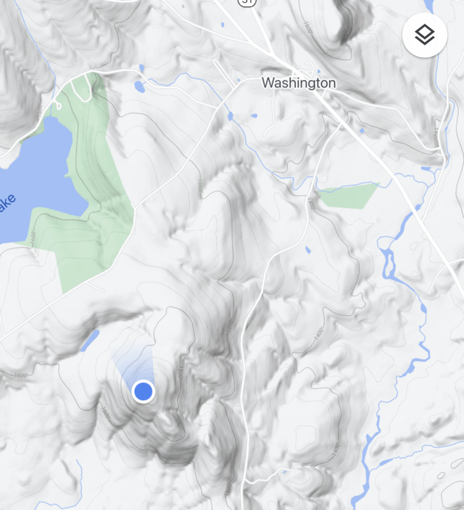
While sitting there, I was greeted by 3 other hikers, three women who were also feeling the effects of Oak Hill’s quick and steady elevation gain. It turns out they were heading to the same shelter as I was, so it was good to meet them ahead of time. We chatted about the day for a bit, and then I shoved off and had food and relaxation on my mind. The General Washington Shelter was about 1-1.5 miles away.
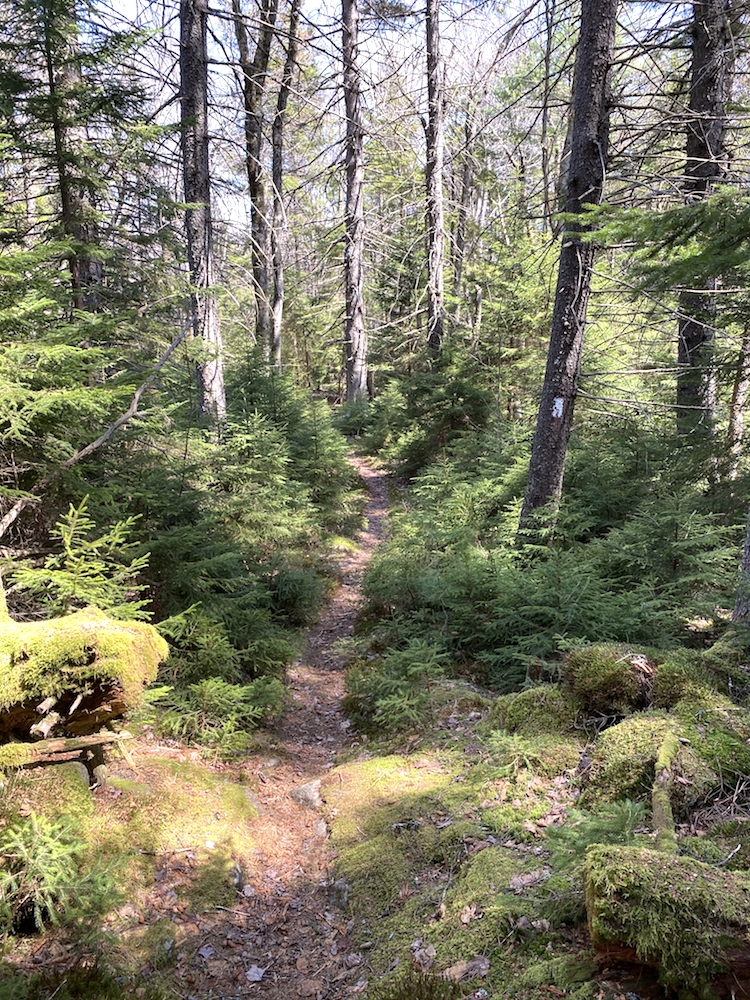
View from the top of Oak Hill and the lush trail on the descent
That 1-1.5 miles from the top Oak Hill felt like a marathon. At a few points on the descent, you can see the town of Washington and its 19th-century white buildings gleaming in the late afternoon sunset in a taunting fashion.
Once back on level-ish land, it’s more tree massacre action and there’s no other way of putting that. It did help to see ahead on the trail and I felt like my pace was above my typical 2-2.4 miles per hour. Something about knowing there are hikers behind me makes me hike a bit faster sometimes.
I arrived at the shelter at about 4:30 pm, and Aaron was there and hadn’t been for long. In fact, I had seen him leaving the top of Oak Hill but didn’t call out to him. He’s a bit faster of a hiker than I am, but we played leapfrog most of the first two days.
About 40 minutes after I arrived the rest of our camping mates arrive. Turns out the three of them were from Boston. That put us 5 for 5 in that shelter, all from Boston.
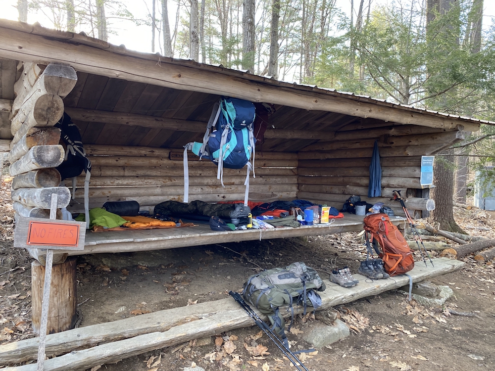
Day 2
Thru-Hiking Monadnock Sunapee Greenway Recap
Started from: Crider Forest Shelter
Destination: General Washington Shelter
Start time: 8:00 am
Total elevation gain: 2,283 ft
Total mileage: 15.4
Total hike time: 8:25
Be Sure to Read The Daily Trek Summaries
Day 1 | Day 2 | Day 3


